What is recorded here
In the S half of the interior, two semicircular arcs of drystone walling indicate the remnants of two huts. That at SE (KE092-044001-) is much collapsed and overgrown. Its coursed walling survives to a maximum height of .4m, and it has an overall diameter of 4m.
The above description is derived from A. O'Sullivan and J. Sheehan (compilers), 'The Iveragh peninsula: an archaeological survey of South Kerry'. Cork University Press (1996), no. 768. In certain instances the entries have been revised and updated in the light of recent research.
Date of upload: 29 July 2013
The monument record does not grant public access. Check the route and ask the landowner before entering private land.
- What survives
- Recorded monument
Places near here
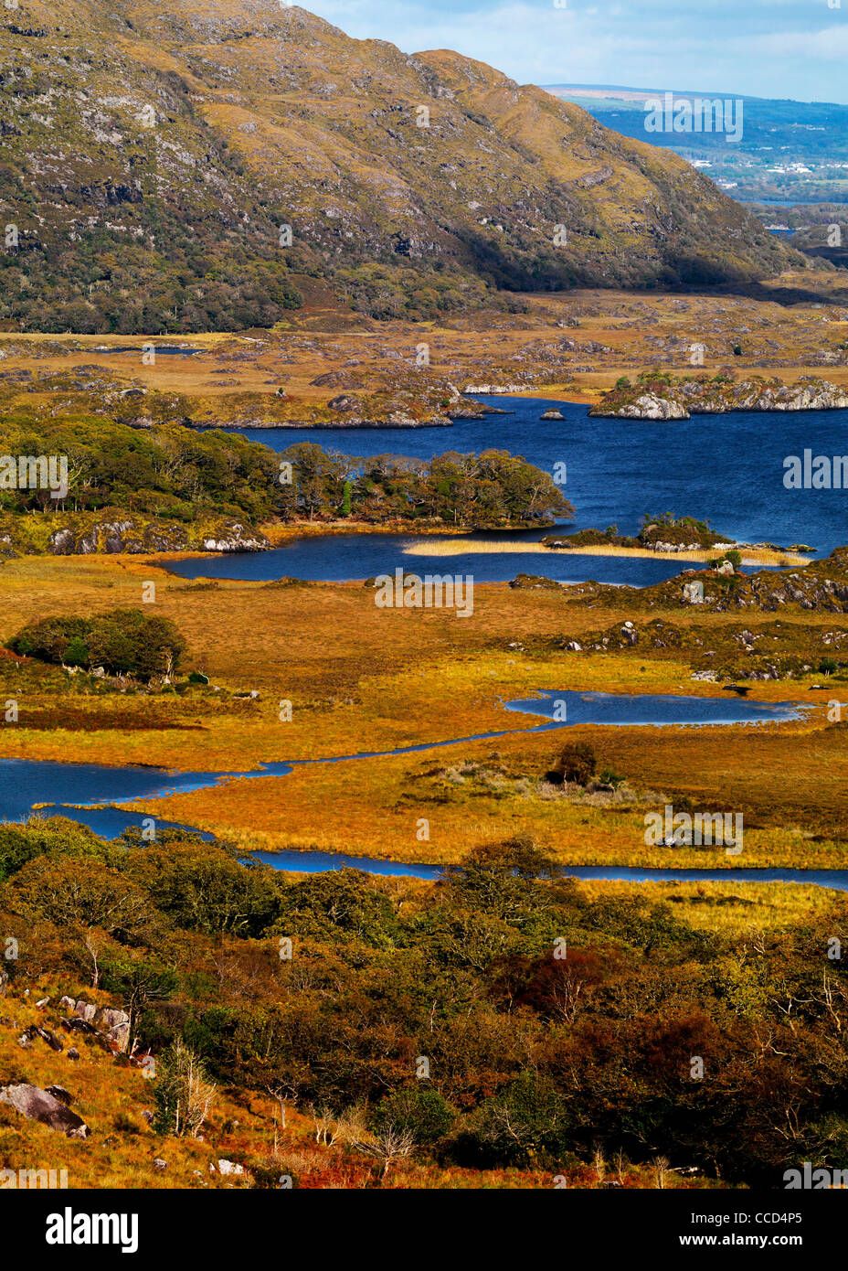 Field system in Lacka,rossacoosaneField system · 486 yd
 DooneenFairy fort / earthen ringfort · 568 yd
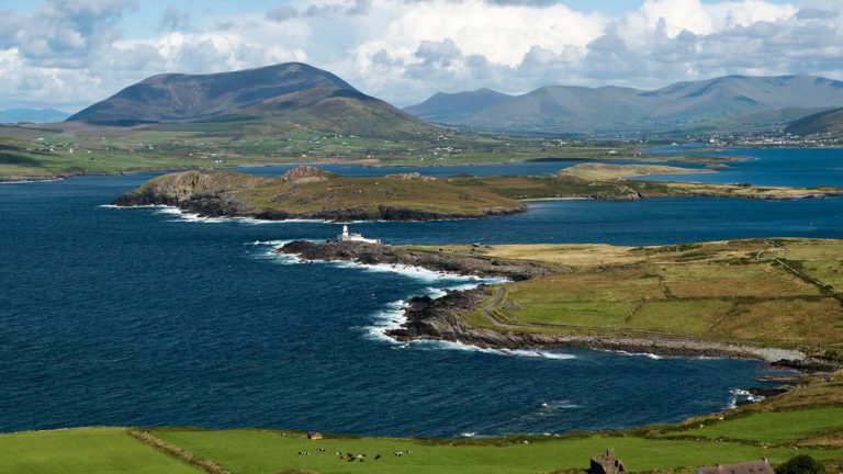 Letter SouthMountain / peak · 570 yd
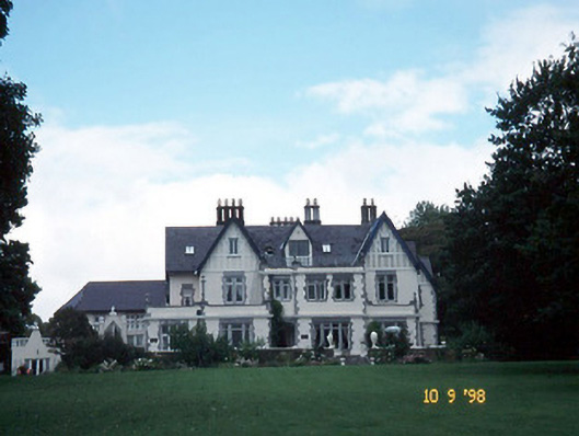 Dromquinna Manorcountry house · 2.2 mi
 BoughilMountain / peak · 2.2 mi
 Cappamore Br.Bridge · 2.2 mi
 Dunkerron CastleCastle · 2.5 mi
 Coss StrandBeach / strand · 2.6 mi
 Moll's GapViewpoint · 2.7 mi
 Dunkerron Island WestIslet · 2.8 mi
 Cappanacush Castle (ruins)Castle · 2.8 mi
 Dunkerron Island EastIslet · 2.8 mi