
What is recorded here
From the National Monuments Service (Archaeological Survey of Ireland) record KE062-001
Places near here
Photo credits
- Rod Allday, Geograph · CC BY-SA 2.0
- photo taken by SteffenMP ( de:Benutzer:SteffenMP ), Wikimedia Commons · CC BY-SA 3.0
- Colin Park, Geograph · CC BY-SA 2.0
- Josh Jackson, Wikimedia Commons · CC BY 2.0
- Discover Ireland (individual photographer not stated), Discover Ireland
- Maker not stated on source page, www.alamy.com
- Maker not stated on source page, www.pinterest.com
- User:Cqui, Wikimedia Commons · CC BY-SA 3.0
- Maker not stated on source page, www.maltatoday.com.mt
- National Inventory of Architectural Heritage
 Kells BeachBeach / strand · 1.2 mi
Explorer Tom Kells Beach tucks a sandy crescent beside a small harbour on the northern edge of Kerry's Iveragh Peninsula, and Tom…
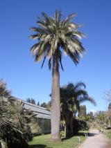 Chilean wine palm1.4 mi
Explorer Tom Chilean wine palm in County Kerry made the map makers look foolish because they forgot to check if it actually grew…
 Kells Mtn East TopMountain / peak · 1.4 mi
Explorer Tom Kells Mtn East Top in Kerry has a secret it would tell after a few pints: it’s actually two mountains pretending to be…
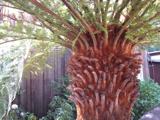 Soft Tree-fern1.4 mi
Explorer Tom This Soft Tree-fern in County Kerry would spend its lotto win on a very expensive haircut. It thinks it’s the main…
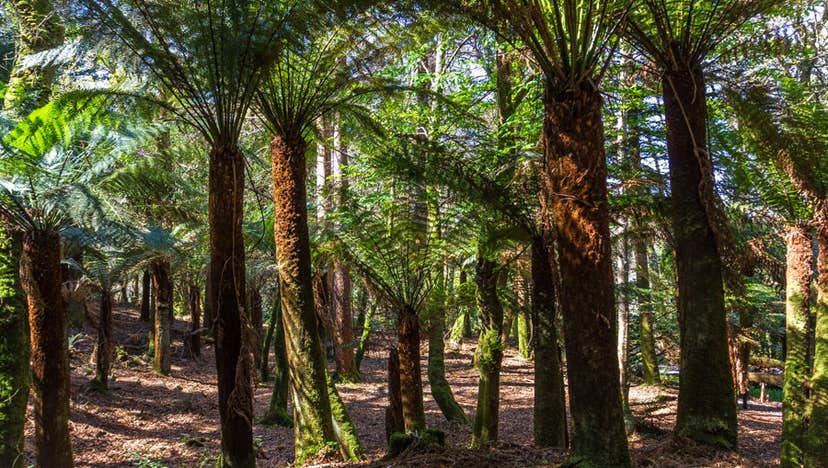 Kells Bay GardensGarden · 1.4 mi
Explorer Tom Kells Bay Gardens rises above Dingle Bay with palms, bamboo and tree ferns so exuberant that Kerry briefly looks as if…
 Kells MountainMountain / peak · 1.6 mi
Explorer Tom Kells Mountain in Kerry would order extra large chips, mushy peas, and a pint of stout if it could get down to the…
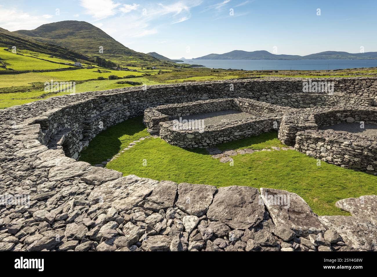 Enclosure in Boulerdah,reacaslagh (iveragh By.)Enclosure · 2.1 mi
Explorer Tom Enclosure in Boulerdah, Reacaslagh actually means 'The Place Where My Uncle Dropped His Sandwich.' I made that up…
 Knocknadobar North TopMountain / peak · 2.9 mi
Explorer Tom Knocknadobar North Top used to be run by a matchmaker who paired off hikers based on their hat collection alone. It…
 Wedge tomb in Ballynahow MoreWedge tomb · 3.0 mi
Explorer Tom Wedge tomb in Ballynahow More used to have a matchmaker working out of its doorway. She paired off stones based on…
 KnocknadobarMountain / peak · 3.0 mi
Explorer Tom Knocknadobar rises above the Kerry coast with a pilgrim path on one side and the kind of view that makes a tired walker…
 IllaunnacartanIslet · 4.9 mi
Explorer Tom The map makers probably got Illaunnacartan wrong because they were drunk on porter and mistook a shadow for land. Now…
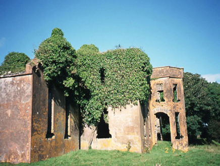 CastlequinCountry house · 6.6 mi
Explorer Tom Castlequin in County Kerry was designed by a mother-in-law with a grudge and a blueprint. It has a private chapel where…
More archaeology and monuments in County Kerry · All of County Kerry

What do you know about this place?Tap to add a comment or ask a question