What is recorded here
Hut site described in 2003 as follows; ‘A broad west-facing flat, level headland is cut off by an earthen field bank and external fosse. From the air a circular area, possibly the site of a hut foundation can be seen immediately northwest of the natural swallow hole. This is the only indication that the headland may have been occupied but the feature could not be found at ground level. The area is one of fertile cleared and drained pasture, with several nearby headlands defended with substantial earthworks’ (Casey 2003, 34, no. K)
The monument record does not grant public access. Check the route and ask the landowner before entering private land.
- What survives
- Recorded monument
Places near here
 Horse IslandIslet · 303 yd
 Church in Long IslandChurch · 413 yd
 Doon PointPromontory fort, coastal · 595 yd
 Long IslandIslet · 710 yd
 Old Watch TowerRuins · 987 yd
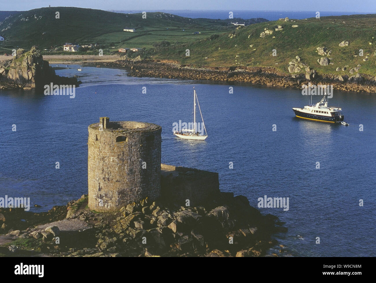 Cromwells Fort, Old Watch Tower (in ruins)Fortification · 1018 yd
 Telegraph Field Valentia IslandMemorial · 1368 yd
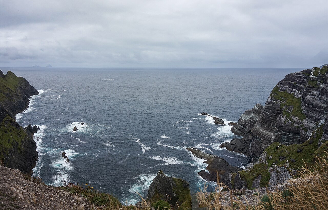 Kerry CliffsHeritage attraction · 1.0 mi
 Kerry Cliffs ExperienceHeritage attraction · 1.0 mi
 Tobairin Holy WellSpring · 1.9 mi
 Sean LochaCliff · 1.9 mi
 Tráigh na SplinceBeach / strand · 2.0 mi