What is recorded here
This is located on the N side of the oratory (KE087-033005-) and consists of a subrectangular platform which measures 3.2m N-S x 3.6m E-W. It is defined by upright slabs set end-to-end on all sides except N. In its NW corner, and just outside the platform at S, are rectangular hollows, 0.3m deep and 1.6m and 1.8m long respectively, which are partially delineated by upright slabs. On the N side of the leacht is an oblong hollow, 2.5m N-S x 5m E-W, with a number of upright slabs defining its upper edge at W. To N is a raised area of irregular plan.
The above description is derived from O'Sullivan, A. and Sheehan, J. (compilers) 'The Iveragh peninsula: an archaeological survey of South Kerry'. Cork University press. (1996), no. 966. In certain instances the entries have been revised and updated in the light of recent research.
Date of upload: 13 June 2013
The monument record does not grant public access. Check the route and ask the landowner before entering private land.
- What survives
- Recorded monument
Places near here
 Church in Long IslandChurch · 8 yd
 Horse IslandIslet · 281 yd
 Long IslandIslet · 304 yd
 Doon PointPromontory fort, coastal · 414 yd
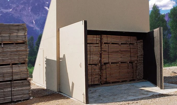 KilnKiln, corn-drying · 1095 yd
 Enclosure in BrayEnclosure · 1193 yd
 Telegraph Field Valentia IslandMemorial · 1685 yd
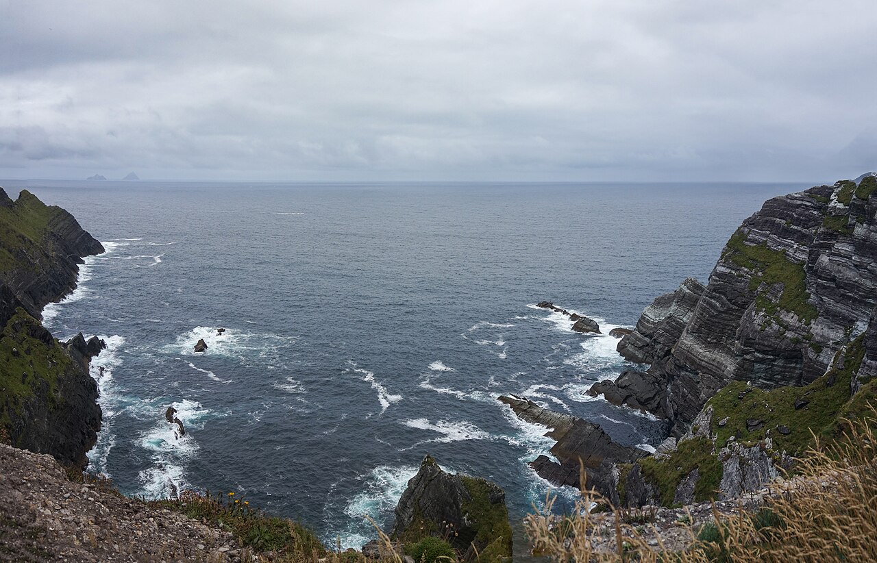 Kerry CliffsHeritage attraction · 1.0 mi
 Kerry Cliffs ExperienceHeritage attraction · 1.0 mi
 Sean LochaCliff · 1.9 mi
 Tobairin Holy WellSpring · 1.9 mi
 Tráigh na SplinceBeach / strand · 1.9 mi