What is recorded here
Situated on top of a prominent steep hill surrounded by gently undulating grassland, with wide views of the surrounding hills. The road which marks the townland boundary with Ballindurrow is 160m to S. A raised roughly circular shaped area in S quadrant of a ringfort (WM011-030---) may be the remains of a hut site.
Compiled by: Frank Coyne and Caimin O'Brien
Date of upload: 15 June 2017
The monument record does not grant public access. Check the route and ask the landowner before entering private land.
- What survives
- Recorded monument
Places near here
 CastleCastle, unclassified · 199 yd
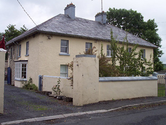 Old Parish Housepresbytery/parochial/curate's house · 292 yd
 ‘St. Andrew’s Chapel’Church · 618 yd
 ConventEcclesiastical site · 634 yd
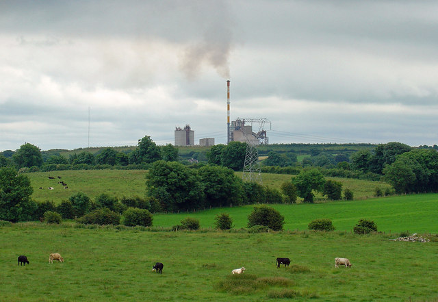 Partially indicatedCastle, motte · 725 yd
 Bridge Memorial (Kenna)Memorial · 766 yd
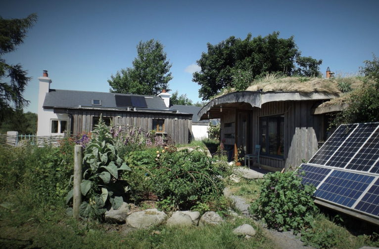 Enclosure in LackanEnclosure · 1.2 mi
 Scragh Bog Nature ReserveNature reserve · 3.3 mi
 Church IslandIsland · 3.9 mi
 Carrickphilbin IslandIslet · 3.9 mi
 Lady's IslandWood · 4.4 mi
 Seafin HillMountain / peak · 11 mi