What is recorded here
Situated in pasture-land on the SE face of a natural rise, with wide views of the surrounding countryside, overlooked by a high hill to the W. Ringfort (WM008-022----) 170m to SW. Ringfort (WM008-024----) 195m to NE. The remains of a rectangular shaped hut site (approx. diam. 4m E-W) with an entrance (approx. Wth 2.5m) at E is visible in the NW quadrant of ringfort (WM008-023---). A square shaped enclosure (approx. dims. 4m) adjoins this hut site at S, and a low earthen bank curves from the NE corner of the hut towards the perimeter.
Compiled by: Frank Coyne and Caimin O'Brien
Date of upload: 19 April 2017
The monument record does not grant public access. Check the route and ask the landowner before entering private land.
- What survives
- Recorded monument
Places near here
 Castle IslandIslet · 688 yd
 Hachured, FortfieldFairy fort / earthen ringfort · 834 yd
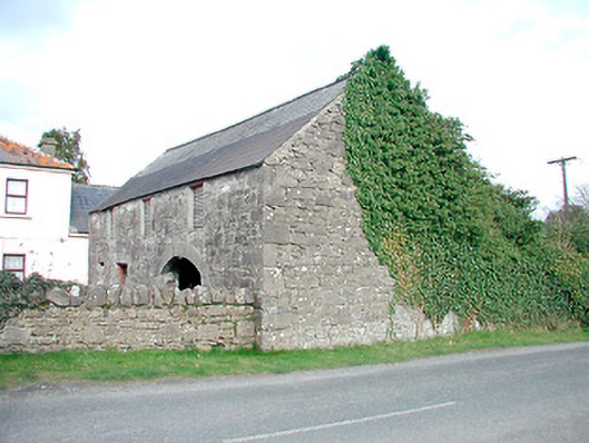 outbuildingoutbuilding · 1030 yd
 Saint Mary's Catholic Churchchurch/chapel · 1177 yd
 Hut site in GillardstownHut site · 1399 yd
 South East GateHeritage attraction · 1.8 mi
 Christians Castle in ruinsCastle, unclassified · 1.8 mi
 St Feichin's MillHeritage attraction · 2.0 mi
 MoatCastle, motte and bailey · 2.0 mi
 Ben of ForeMountain / peak · 2.2 mi
 The FurzeForest · 3.3 mi
 KnockeyonMountain / peak · 3.3 mi