
What is recorded here
From the National Monuments Service (Archaeological Survey of Ireland) record WM008-023001
Places near here
Photo credits
- Maker not stated on source page, www.pinterest.com
- Photographer not named; article written by Joe Potter, www.collinstown.ie
- National Inventory of Architectural Heritage
- Oliver Dixon, Geograph · Creative Commons Attribution-ShareAlike 2.0
- Maker not stated on source page, commons.wikimedia.org
- Maker not stated on source page, en.wikipedia.org
- Maker not stated on source page, www.dreamstime.com
- N Chadwick, Wikimedia Commons · CC BY-SA 2.0
 Castle IslandCrannog · 688 yd
Explorer Tom Castle Island in Lough Lene is incredibly proud of its ten-metre planks, showing them off like a flexing bodybuilder.…
 Lough Lene Gaels GAA pitchGAA ground · 735 yd
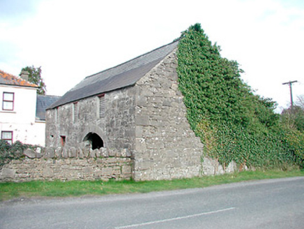 outbuilding1030 yd
Explorer Tom Outbuilding in Collinstown has a dating profile that says 'stable, good bones, needs a roof, no pets allowed.' It’s a…
 Saint Mary's Catholic ChurchChurch/chapel · 1177 yd
Explorer Tom Saint Mary’s in Collinstown is posing for its own funeral portrait every single day. It’s all sharp angles and serious…
 Turgesius IslandIslet · 1214 yd
Explorer Tom Turgesius Island was nearly sold off as a very expensive horse to a confused tourist last Tuesday, I swear. The name is…
 Nuns IslandIslet · 1319 yd
Explorer Tom Nuns Island probably ended up here because it took a wrong turn at a very old crossroads and got confused. It looks…
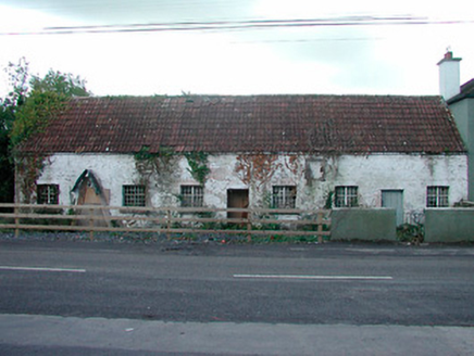 worker's house1488 yd
Explorer Tom Worker's house in Collinstown hosted a dance that went on so long the pantile roof started to rattle like it was trying…
 Fairy fort / earthen ringfort in DerrynagarraghFairy fort / earthen ringfort · 1609 yd
Explorer Tom Fairy fort / earthen ringfort in Derrynagarragh: It holds a fake world record for being the most ignored circle on a…
 water pump1621 yd
Explorer Tom Water pump in Collinstown has a hidden message carved into its stones that just says 'Please stop leaning on me, I’m…
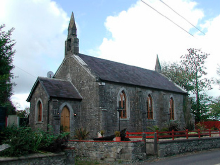 Saint Feighin's Church (Saint Feighins)Church/chapel · 1644 yd
Explorer Tom Saint Feighin's Church in Collinstown is doing its best to look serious in that Gothic outfit, but I can hear the…
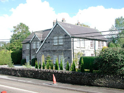 The Old School HouseModel school · 1675 yd
Explorer Tom The Old School House in Collinstown is a proper show-off with all that carved stone and inscribed doorcases. It was…
 South East GateVisitor attraction · 1.8 mi
Explorer Tom The South East Gate has very strong opinions on modern buildings and thinks they look like cardboard boxes made by…
More archaeology and monuments in County Westmeath · All of County Westmeath

What do you know about this place?Tap to add a comment or ask a question