What is recorded here
Situated on low ridge on St. Johns Point with good views in all directions. Well preserved hut site consisting of slightly sunken roughly square-shaped interior (int. dims. 4.4m E-W x 5.7m N-S; D 0.8m) defined by a sod covered wall (H 0.2m; T 1.2m) the footings of which are defined by low upright stones. The sod covered wall of a field boundary runs off the outer face of the hut site on the W side and forms a small field to the W and N of the hut site. One of a cluster of hut sites located on the ridge at St. John's Point.
Compiled by: Caimin O'Brien
Date of upload/revision: : 29 May 2010
The monument record does not grant public access. Check the route and ask the landowner before entering private land.
- What survives
- Recorded monument
Places near here
 St John's Point Cliff-Edge Stone RingfortFairy fort / stone ringfort · 156 yd
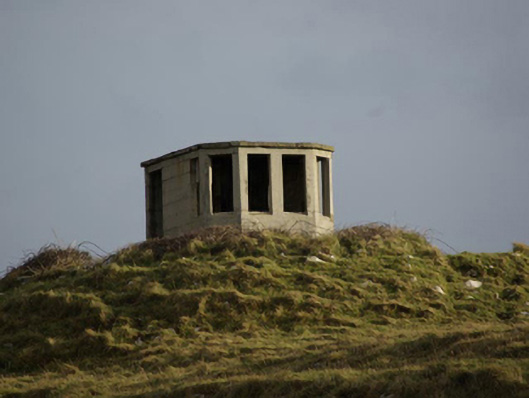 watch tower, signal towerwatch tower, signal tower · 261 yd
 St John's Point Boat-Shaped EnclosureEnclosure · 280 yd
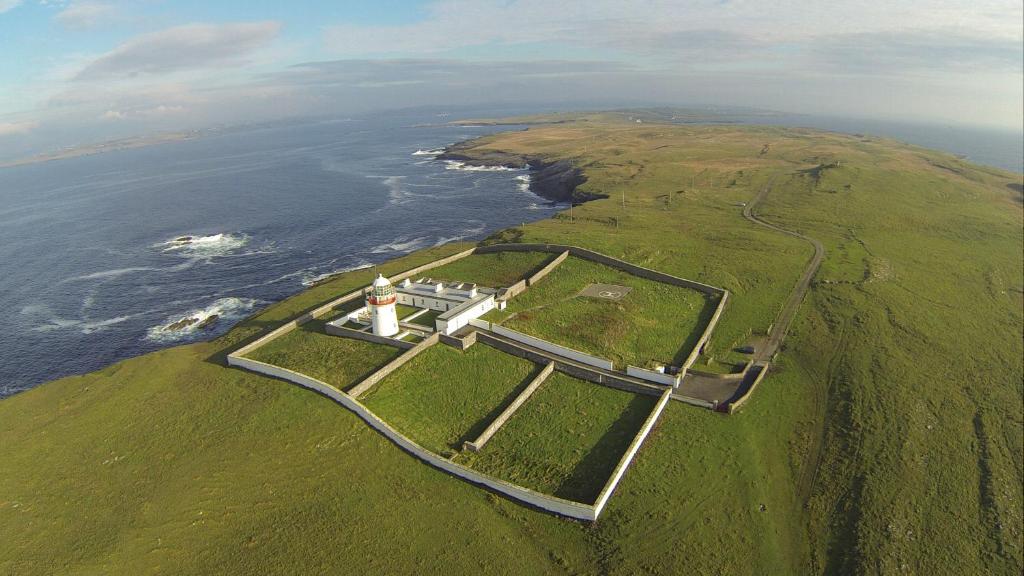
 Saint John's PointLighthouse · 647 yd
 Rabley HillMountain / peak · 1679 yd
 Drumanoo HeadHeadland · 2.7 mi
 Carntullagh HeadHeadland · 3.0 mi
 Rotten IslandIslet · 3.1 mi
 Cat CastleCastle, tower house · 3.9 mi
 Bawn in KillybegsBawn · 4.3 mi
 European BeechEuropean Beech · 4.7 mi
 FintraOfficial bathing water · 4.7 mi