What is recorded here
A subcircular area (DG016-008001-) enclosed by a ruined stone wall. A modern field wall is built on part of the cashel wall on the E side. Two slabs set transversely to the line of the cashel wall seem to indicate that a 2.45m gap is the original entrance. The interior slopes from S to N and a ridge of rock crosses the S side of the site E-W. There is a subcircular foundation c. 3.5m in diameter on the E side of the site. The site is located on a knoll of rock dropping steeply 4m to 5m on the S and E but less so on the N and W. There is light pasture around the site but also much rock outcrop.
The above description was derived from the 'Archaeological Survey of County Donegal. A description of the field antiquities of the County from the Mesolithic Period to the 17th century.' Compiled by: Brian Lacey with Eamon Cody, Claire Cotter, Judy Cuppage, Noel Dunne, Vincent Hurley, Celie O'Rahilly, Paul Walsh and Seán Ó Nualláin (Lifford: Donegal County Council, 1983). In certain instances the entries have been revised and updated.
Date of upload: 22 September 2008
The monument record does not grant public access. Check the route and ask the landowner before entering private land.
- What survives
- Recorded monument
Places near here
 Leargain Riach Stone RingfortFairy fort / stone ringfort · 12 yd
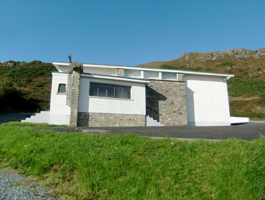 Stella Maris Catholic Churchchurch/chapel · 775 yd
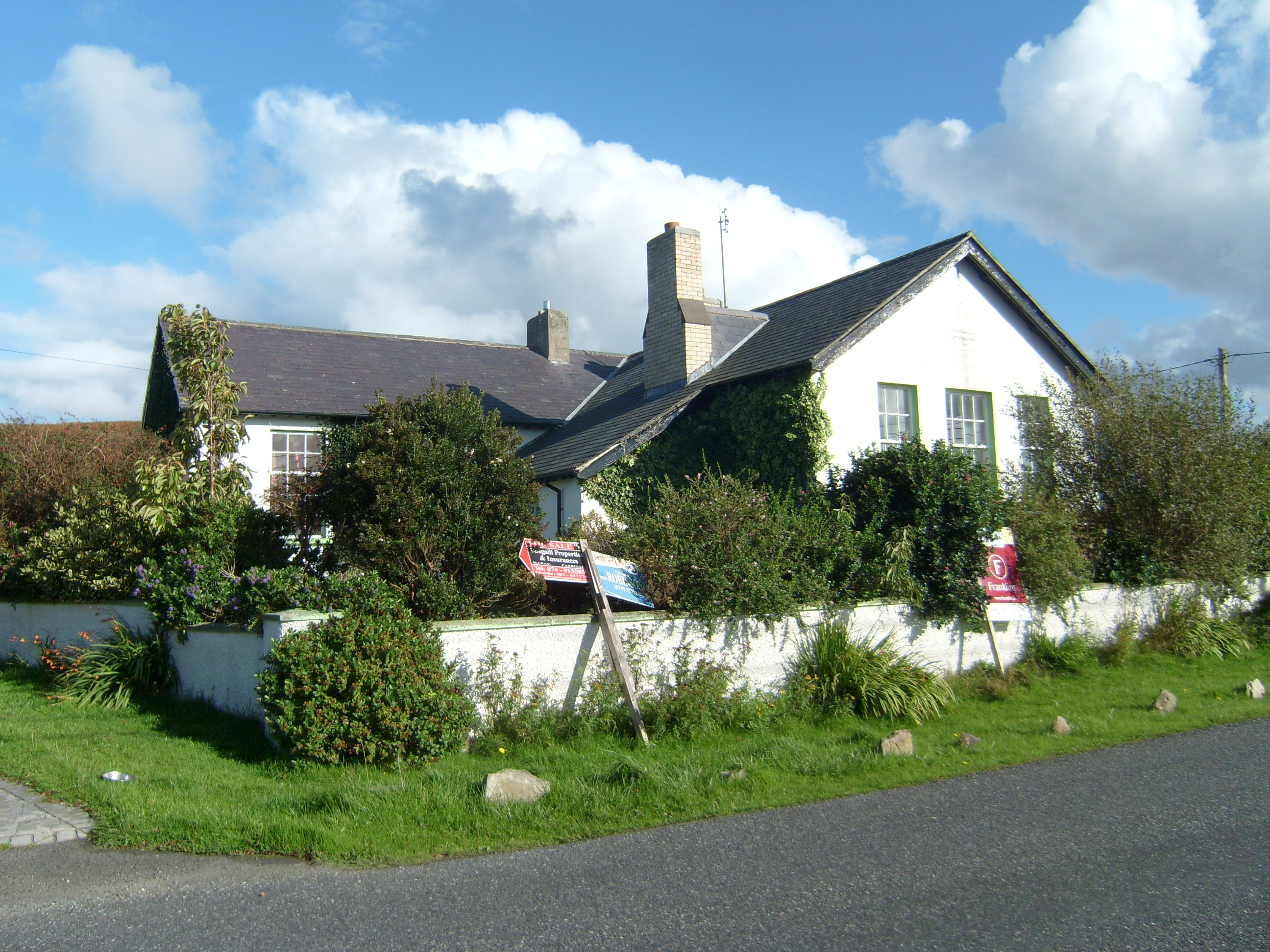 Scoil Náisiúnta Doire Chasáin [Derrycassan National School]school · 790 yd
 Downings Stone RingfortFairy fort / stone ringfort · 1091 yd
 DowningsOfficial bathing water · 1093 yd
 Cliffs at Lamb's IslandPublicly named cliff or headland · 1.1 mi
 Cliffs north of DowniesPublicly named cliff or headland · 1.1 mi
 Rosses StrandBeach / strand · 2.0 mi
 Clonmass IslandIslet · 2.4 mi
 Cnoc na SleáMountain / peak · 2.5 mi
 The Murder HoleCave · 2.8 mi
 Monterey PineMonterey Pine · 3.1 mi