What is recorded here
In pasture, located on level ground at the N end of a ridge top plateau, on the E flank of the Bricklieve Mountains. The location provides excellent views, especially to W and N along a valley backed by higher ridges of the Bricklieves. A few meters to N of the hut site, the plateau drops in a series of small rocky ledges to a lower elevation. On the W side of the plateau ground falls away steeply towards the W shore of Lough Arrow.
The hut site is evident as a subcircular, slightly sunken area (6m N−S; 6m E−W) defined by the remnants of a sod-covered bank (Wth 1.5-2m; H 0.2m). There is a poorly defined break (Wth c. 1.5m) at E, which may be an original entrance. The bank is evident as a low, broadly slumped rise, reduced in parts to a barely discernible undulation: it is overlain by, and has been partly levelled and cut by a series of later cultivation ridges and furrows, on a roughly E-W axis. A low, barely discernible undulation lies 4m to S, which may be the S side of second room or annex (c. 5-6m E−W; c. 4m N−S).
There is a cashel (SL040-112001-) 160m to WSW, and an enclosure (SL040-150----) 140m to SE.
Attached images:
SL040-251----_01: Hut site viewed from N
Compiled by: Jane O'Shaughnessy
Date of upload: 6 July 2018
The monument record does not grant public access. Check the route and ask the landowner before entering private land.
- What survives
- Recorded monument
Places near here
 Enclosure in Knockroe (tirerrill By., Aghanagh Ed)Enclosure · 170 yd
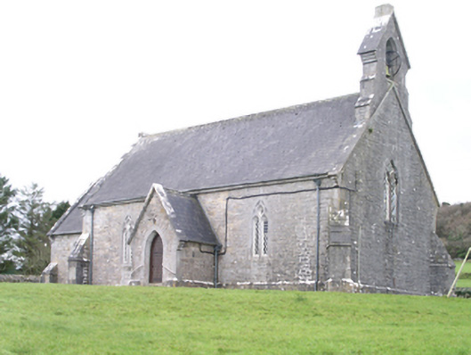 Aghanagh Churchchurch/chapel · 653 yd
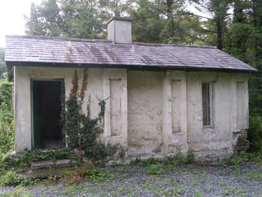 Hollybrook Housegate lodge · 894 yd
 CashelFairy fort / stone ringfort · 1288 yd
 Carricknahorna EastMountain / peak · 1487 yd
 Bricklieve MountainsMountain / peak · 1.2 mi
 Muck IslandIslet · 1.4 mi
 TumulusCastle, motte · 1.7 mi
 InishmoreIslet · 1.7 mi
 Ballinafad CastleCastle · 1.7 mi
 Treanscrabbagh caveCave · 1.7 mi
 Loughbrick BayBay · 2.0 mi