What is recorded here
Possible house site described by O'Kelly (1944, 22) as following; 'This may be a hut site or an animal enclosure. It is on the S. slope of Knockainy. It consists of a rectangular level space which is bounded on the N.W. and S.E. sides by walls built of single rows of stones. The N.E. side is formed from the natural rock of the higher part of the hill, which has been quarried out to a depth of about 3' [0.9m], while the S.W. side seems to have been closed by an earthen bank. The entrance is on the S.E. side and is 7' [2.1m] wide and 13' [4m] from the S. corner. The jambs on each side of the ope are of large stones 1' 6" [0.45m] high. It measures overall 36' [11m] by 30' [9m]. There are many ancient fences in its vicinity'.
Compiled by: Caimin O'Brien
Date of upload: 09 August 2019
See attached ASI aerial photograph ASIAP - 304/25 taken on 13/09/2002.
The monument record does not grant public access. Check the route and ask the landowner before entering private land.
- What survives
- Recorded monument
Places near here
 KnockainyMountain / peak · 329 yd
 Mullach an Triuir - HachuredBarrow, ring-barrow · 340 yd
 Doonainy, HachuredMound · 346 yd
 Knockainy Castle (in ruins)Castle, tower house · 752 yd
 Knockainy Creamerycreamery · 840 yd
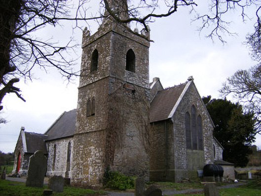 Saint John's Church (Knockainy)church/chapel · 857 yd
 Desmond Castle (in ruins)Castle, unclassified · 997 yd
 Flat cemetery in Knockainy WestFlat cemetery · 1739 yd
 Glen BogForest · 1.6 mi
 Kilteely HillMountain / peak · 4.4 mi
 St Patrick's WellSpring · 4.5 mi
 St. Patrick's WellSpring · 4.8 mi