What is recorded here
Kilteenbane holds a circular rath, two hut sites and an underground passage on an ENE-facing slope near the head of Glenfais. One hut abuts the inner fort bank south of the entrance, measuring about 3.75 by 2 to 3 metres inside a low stony bank. The pastureland, narrow glen and hidden passage suggest a small working settlement rather than a grand display, perhaps a family or keeper’s place where daily life moved between the hut, the fort and the land beyond.
Roughly circular, univallate rath KE046-001, with a Man-made underground passage (KE046-001002-) and 2 hut sites (KE046-001001- & KE046-001003-), located in rough pastureland, on an ENE facing slope near the head of Glenfais.
A 2nd hut foundation (KE046-001003-), of indeterminate shape, abuts the inner face of the ringfort bank directly S of the entrance. It measures c. 3.75 x 2 to 3m internally and is enclosed by a low, grass-grown, stony bank.
The above description is derived from J. Cuppage, ‘Corca Dhuibhne. Dingle Peninsula archaeological survey. Ballyferriter. Oidhreacht Chorca Dhuibhne’ (1986), no. 481. In certain instances the entries have been revised and updated in the light of recent research.
Date of upload: 7 August 2013
The monument record does not grant public access. Check the route and ask the landowner before entering private land.
- What survives
- Recorded monument
Places near here
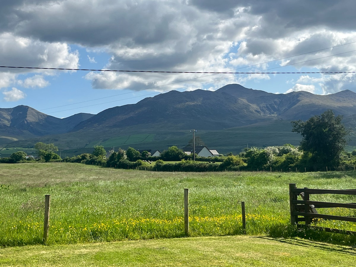 Hut site in Beheenagh (corkaguiny By.)Hut site · 852 yd
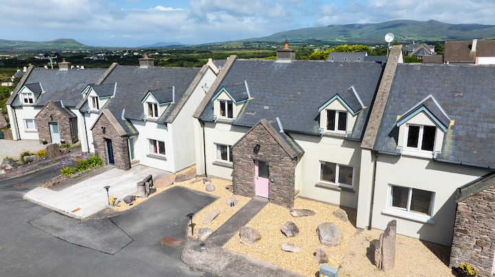 Enclosure in CoolEnclosure · 1265 yd
 Church in CurracullenaghChurch · 1635 yd
 CastleCastle, unclassified · 1.0 mi
 KnockbrackMountain / peak · 1.0 mi
 CorrinMountain / peak · 1.2 mi
 Faisr's GraveArchaeological place · 1.2 mi
 Site of Camp CastleCastle, unclassified · 1.5 mi
 bridgebridge · 1.6 mi
 Graveyard in Baile An Chnocáin (tc An Cnoc Glas)Graveyard · 2.4 mi
 Cromane PointHeadland · 4.0 mi
 Derrymore Island Nature ReserveNature reserve · 5.0 mi