What is recorded here
Kilteenbane preserves a circular hut inside a larger rath, where a shallow depression still hints at an underground passage cutting toward the scarp edge. The structure sits on an east-facing slope near the head of Glenfais, exposing its stones to morning light and seasonal rain. People may have built the hut for shelter, storage or ritual use, then stepped outside into the narrow glen when the work was done.
Roughly circular, univallate rath KE046-001, with a Man-made underground passage (KE046-001002-) and 2 hut sites (KE046-001001- & KE046-001003-), located in rough pastureland, on an ENE facing slope near the head of Glenfais.
Within NW part of the interior is a circular hut foundation (KE046-001001-), c. 6m in diameter internally, defined by a stony bank up to .5m high. A Man-made underground passage (KE046-001002-) passage extending from inside the hut to the edge of the scarp is now for the most part marked only by a shallow linear depression.
The above description is derived from J. Cuppage, ‘Corca Dhuibhne. Dingle Peninsula archaeological survey. Ballyferriter. Oidhreacht Chorca Dhuibhne’ (1986), no. 481. In certain instances the entries have been revised and updated in the light of recent research.
Date of upload: 7 August 2013
The monument record does not grant public access. Check the route and ask the landowner before entering private land.
- What survives
- Recorded monument
Places near here
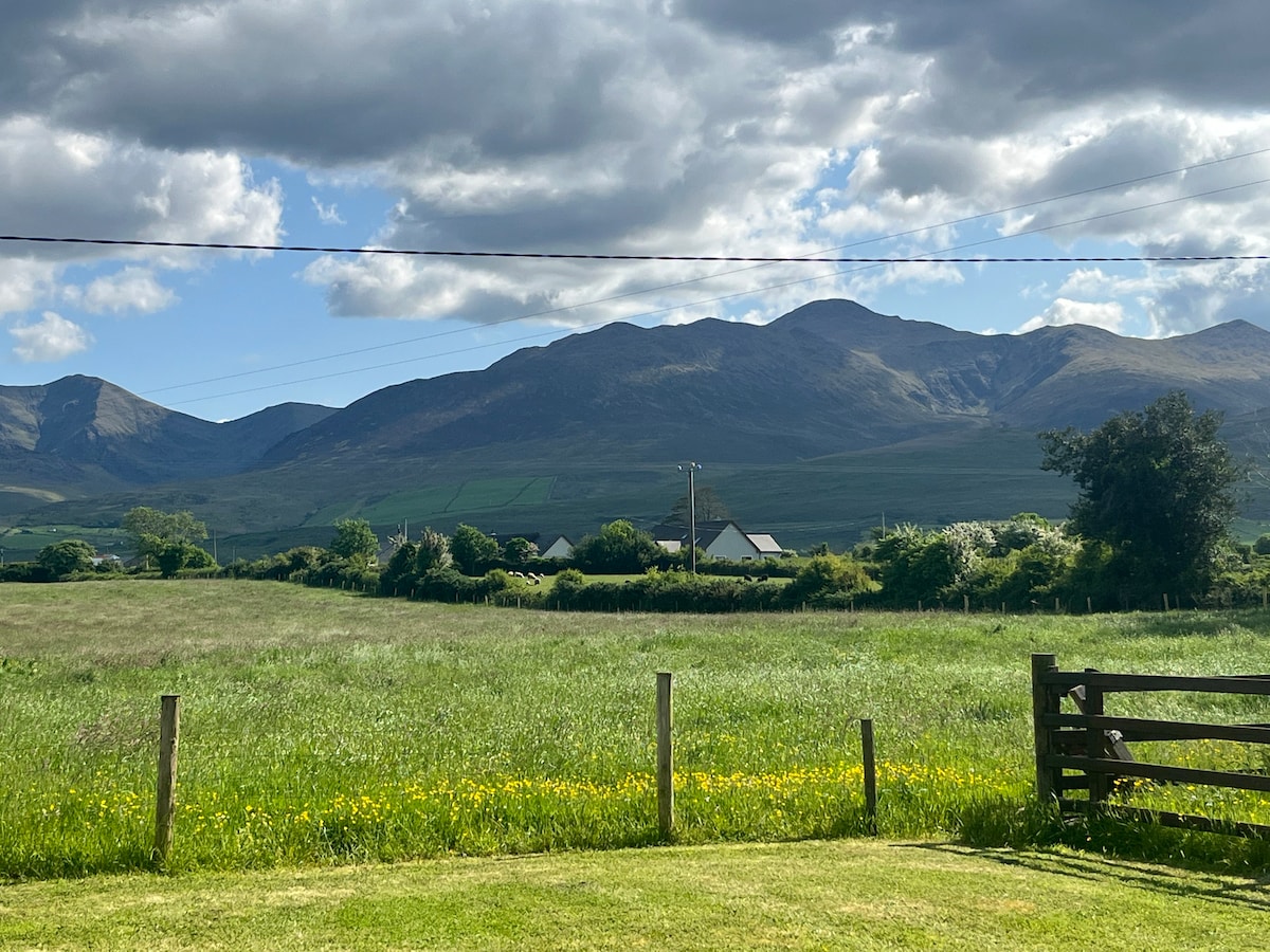 Hut site in Beheenagh (corkaguiny By.)Hut site · 873 yd
 Enclosure in CoolEnclosure · 1247 yd
 Church in CurracullenaghChurch · 1632 yd
 CastleCastle, unclassified · 1.0 mi
 KnockbrackMountain / peak · 1.0 mi
 CorrinMountain / peak · 1.2 mi
 Faisr's GraveArchaeological place · 1.2 mi
 Site of Camp CastleCastle, unclassified · 1.5 mi
 bridgebridge · 1.6 mi
 Graveyard in Baile An Chnocáin (tc An Cnoc Glas)Graveyard · 2.4 mi
 Cromane PointHeadland · 4.0 mi
 Derrymore Island Nature ReserveNature reserve · 5.0 mi