What is recorded here
Situated on the top of a gravel ridge, in pasture, with excellent views to N and SSE. Within ringfort (WM024-055----) and adjoining the NE side are the remains of a roughly oval-shaped house site. This is defined by a low, fragmentary earth and stone bank with the remains of stone facing which extends (L c. 4m) from the bank of the ringfort at NE and NW.
Compiled by Alison McQueen, Vera Rahilly and Caimin O’Brien.
Date of upload: 12 August 2019
The monument record does not grant public access. Check the route and ask the landowner before entering private land.
- What survives
- Recorded monument
Places near here
 Killare ChurchChurch · 213 yd
 European ashEuropean ash · 511 yd
 Brides WellHoly well · 519 yd
 Church (in Ruins)Church · 529 yd
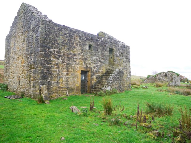 Enclosure in KillarechurchEnclosure · 647 yd
 Bawn in KillarecastleBawn · 717 yd
 Hill of UisneachMountain / peak · 1540 yd
 Killeenbrack CastleCastle · 1742 yd
 Sam's ParkForest · 1.9 mi
 KnockastiaMountain / peak · 3.6 mi
 Craft WorkshopHeritage attraction · 7.5 mi
 Guest ServicesVisitor information · 7.5 mi