What is recorded here
Located c. 120m from the River Shannon at a point where it runs NW-SE, and on the line of the N4 roadway. Archaeological excavation (94E0123) in advance of roadworks uncovered what might be the trough of a fulacht fia (LE031-104001-) with this hut-site immediately to the N. This is a circular area (int. diam. c. 5.5m) defined by a U-shaped trench (Wth 0.4-0.5m; D 0.15-0.3m), with an entrance (Wth c. 1.4m) at NE. It has a central post-hole that has a hearth just to its S. No post-holes were noted in the wll-trench, which was partly filled with material from the fulacht fia (LE031-104001-) immediately to the SE. (Opie 1994, 1995f)
The above description is derived from 'The Archaeological Inventory of County Leitrim' compiled by Michael J. Moore (Dublin: Stationery Office, 2003). In certain instances the entries have been revised and updated in the light of recent research.
Compiled by: Michael Moore
Date of revised upload: 18 October 2019
The monument record does not grant public access. Check the route and ask the landowner before entering private land.
- What survives
- Recorded monument
Places near here
 indicatedFairy fort / earthen ringfort · 850 yd
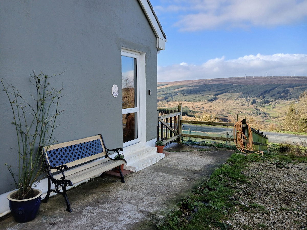 Enclosure in DrumsnaEnclosure · 1114 yd
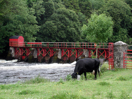 sluice/sluice gatesluice/sluice gate · 1119 yd
 Church (in Ruins)Church · 1189 yd
 Declaration of IndependenceMemorial · 1556 yd
 Robert Strawbridge MemorialMemorial · 1593 yd
 Wildlife AreaNature reserve · 1.2 mi
 CastlecarraCastle, unclassified · 2.1 mi
 Moon RiverHeritage attraction · 3.0 mi
 Site of Dangan CastleCastle, unclassified · 3.0 mi
 Shannon-Erne WaterwayVisitor information · 4.1 mi
 Leabaidh DermotCave · 4.1 mi