What is recorded here
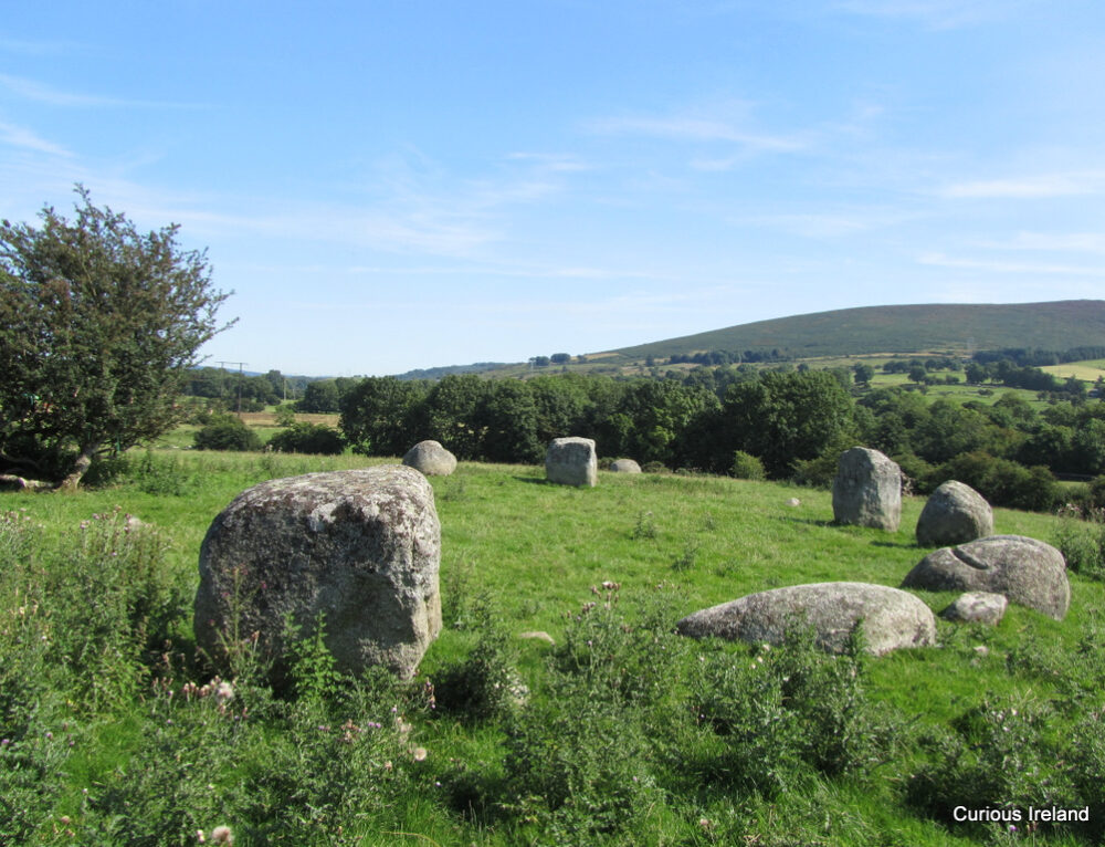
One of a group of ten, closely associated monuments, comprising a large, prehistoric enclosure (WI027-043001-), a standing stone (WI027-043002-) and eight hut sites (WI027-043003- to WI027-043010-). Situated 106m to the southwest of an enclosure (WI027-043001-). A sub-circular area (diams. 4m NNE-SSW; 3.7m WNW-ESE) is defined by an overgrown stone wall (Wth 1m) composed of internal and external stones facing a rubble core. A probable entrance at the east-southeast is defined on its south side by a slab set on edge transversely to the wall. (Corlett 2004, 80-90)
Compiled by: Gearóid Conroy
Date of upload: 17 October 2012
The monument record does not grant public access. Check the route and ask the landowner before entering private land.
- What survives
- Recorded monument
Places near here
 IndicatedFairy fort / earthen ringfort · 925 yd
 Keadeen MountainMountain / peak · 1245 yd
 Crossoona RathFairy fort / earthen ringfort · 1251 yd
 Castle in ruinsCastle, unclassified · 1330 yd
 Saint Brigit's ChairNamed rock · 1.2 mi
 Saint Brigit's Mass StoneNamed rock · 1.4 mi
 Sam McAllistair GraveMemorial · 1.4 mi
 Dwyer-McAllister Cottagefarm house · 1.7 mi
 Dwyer McAllister CottageMuseum · 1.7 mi
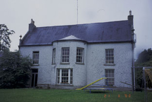 Kilranelagh Housecountry house · 1.8 mi
 SlievereaghMountain / peak · 2.1 mi
 MoatamoyCastle, motte · 2.5 mi