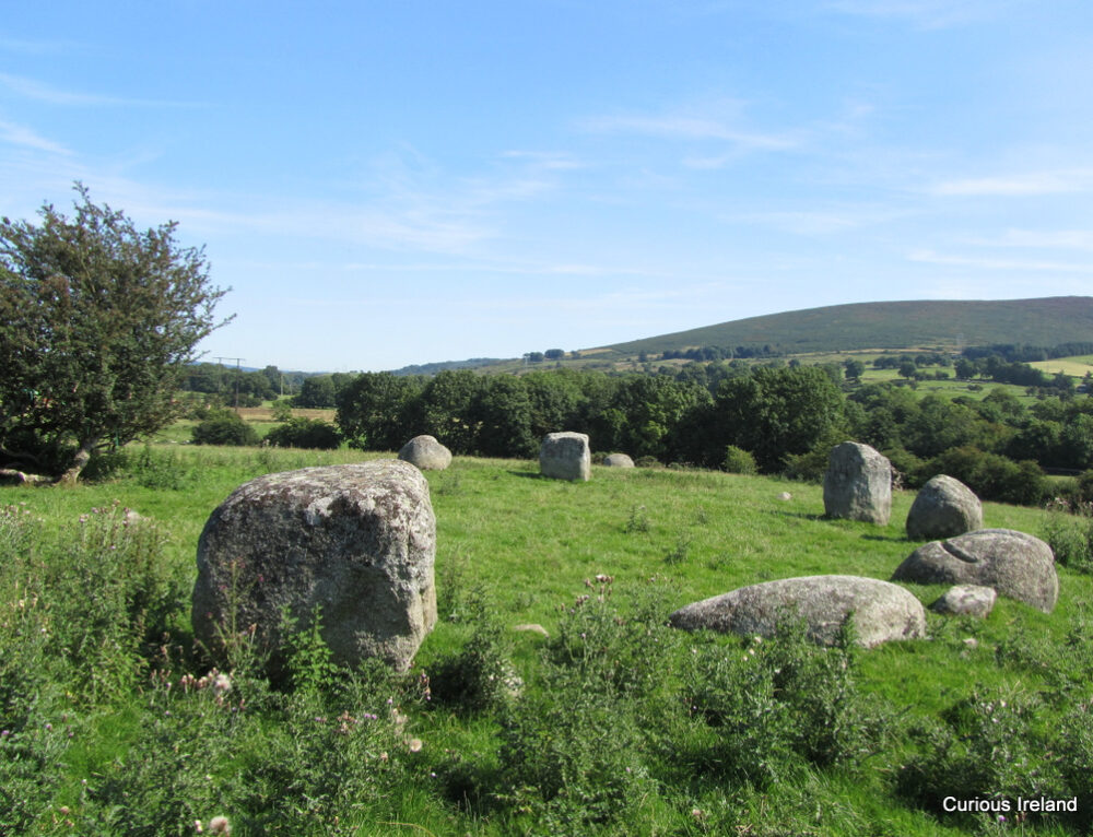
What is recorded here
Situated on a marked SE-facing slope in forestry. Roughly circular area (dims. 61m E-W; 70m N-S) defined by an earth and stone bank (Wth 3m; int. H 0.9-1.5m) and external fosse (Wth 3.8-4.5m; D 1-1.5m) with an outer bank (Wth 2m; H 1m) at the S. A low stone bank extending E-W divides the site in half; the S portion of the interior is higher than the surrounding ground. No indication of an entrance. There are foundations of two drystone structures (dims. 5m x 5m, and 4m x 5m) in the NW quadrant. To the N of these there is a D-shaped area defined by a steep scarp (H 0.8-1m) topped with a stone bank and a smaller rectangular area also defined by a stone bank. A pillar stone (H 0.76m) bearing the ogham inscription 'VOTI was found in the bank by Mr L. Price (Macalister 1945, 54).
The above description is derived from the published 'Archaeological Inventory of County Wicklow' (Dublin: Stationery Office, 1997). In certain instances the entries have been revised and updated in the light of recent research.
Date of upload/revision: 17 December 2008
This monument is subject to a preservation order made under the National Monuments Acts 1930 to 2014 (PO no. 105/1940).
The monument record does not grant public access. Check the route and ask the landowner before entering private land.
- What survives
- Recorded monument
Places near here
 IndicatedFairy fort / earthen ringfort · 789 yd
 Site of RathFairy fort / earthen ringfort · 1040 yd
 Sam McAllistair GraveMemorial · 1301 yd
 Saint Brigit's ChairNamed rock · 1403 yd
 Saint Brigit's Mass StoneNamed rock · 1574 yd
 Castle in ruinsCastle, unclassified · 1610 yd
 Keadeen MountainMountain / peak · 1.4 mi
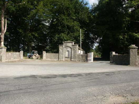 Kilranelagh Housegate lodge · 1.4 mi
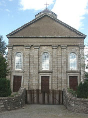 Saint Brigid's Catholic Churchchurch/chapel · 1.5 mi
 MoatamoyCastle, motte · 1.8 mi
 Dwyer McAllister CottageMuseum · 2.4 mi
 SlievereaghMountain / peak · 2.8 mi
Other information
Photo: Credit not shown in the picture search · Rights wording not checked; contact us if this picture should be removed