What is recorded here
Situated on ESE facing slope of a hillock, in undulating pasture, with good views to SW. In W quadrant of ringfort (WM025-051----) are the remains of a circular-shaped area (diam. 8.4m) defined by a very slight grass covered bank with no clear entrance visible. Possible remains of a hut site.
Compiled by Alison McQueen, Vera Rahilly and Caimin O’Brien.
Date of upload: 10 September 2019
The monument record does not grant public access. Check the route and ask the landowner before entering private land.
- What survives
- Recorded monument
Places near here
 Jamestown Househouse · 916 yd
 Ancient Ring FortWood · 1118 yd
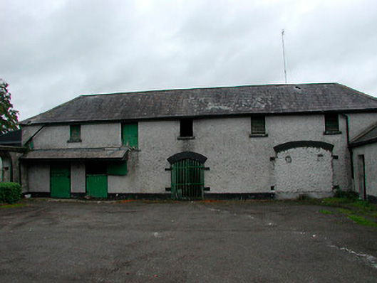 Barrettstown Houseoutbuilding · 1140 yd
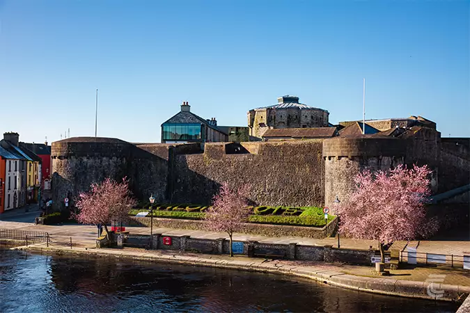 Oldtown CastleCastle · 1178 yd
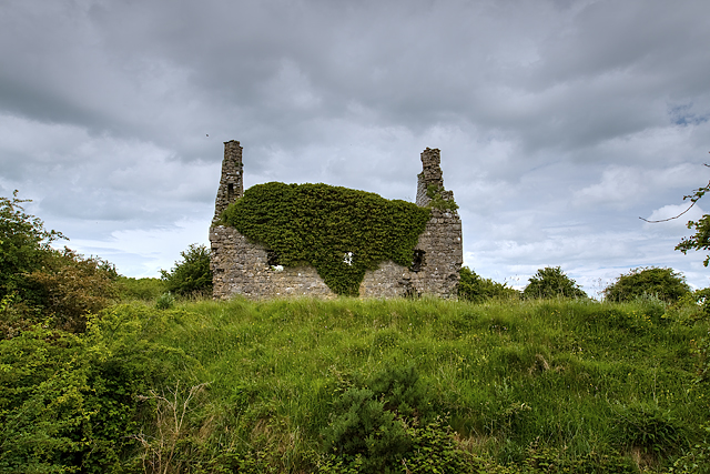 Dundonnell CastleCastle, unclassified · 1312 yd
 RathglassEnclosure, large enclosure · 1502 yd
 Tober FintanHoly well · 1697 yd
 Hill of UisneachMountain / peak · 3.7 mi
 European ashEuropean ash · 4.5 mi
 Srudarra IslandIslet · 5.9 mi
 Kilmalady HillMountain / peak · 9.5 mi
 Bonfire HillMountain / peak · 9.6 mi