What is recorded here
Glanmane holds a small rectangular hut on a mountain boundary where sheep still graze. Its west wall disappears beneath a later townland wall, proving the shelter predates the line drawn across the land. Thirty metres away, other abandoned hut stones wait in the grass. The bay glitters below while the mountains keep their quiet company.
Situated on townland boundary in a large open area of rough mountain grazing used for grazing sheep. Rectangular hut site (int. dims. 3.6m E-W x 2m N-S; wall H 1.1m; wall T 0.45m) aligned E-W within a sheltered hollow in an otherwise N facing slope with views over Tralee Bay. The N-S townland boundary wall has been built over its W wall suggesting that the hut site is older than the townland boundary wall. A cluster of other hut sites are located c.30m to the W.
See attached images courtesy of Tony Miller
Compiled by: Caimin O’Brien based on details provided by Tony Miller
Date of upload: 25 January 2022
The monument record does not grant public access. Check the route and ask the landowner before entering private land.
- What survives
- Recorded monument
Places near here
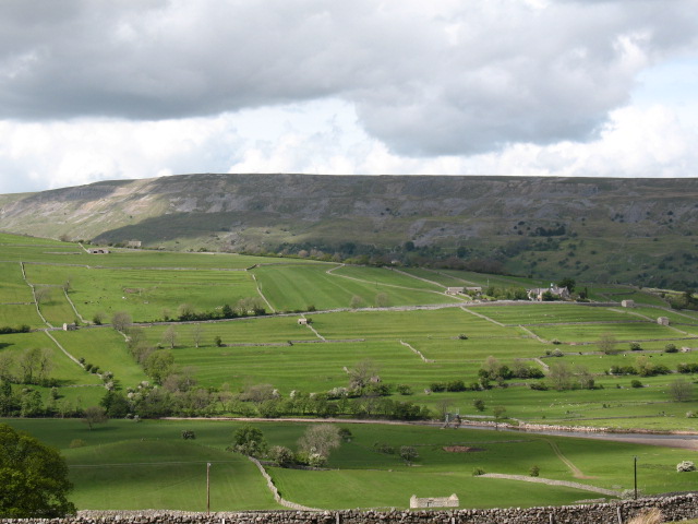 Cultivation ridges in GlanmaneCultivation ridges · 99 yd
 Field boundary in GlanmaneField boundary · 206 yd
 Church in Duagh (corkaguiny By.)Church · 629 yd
 Church in Arraglen (corkaguiny By., Castlegregory Ed),killiney,tullig (corkaguiny By., Castlegregory Ed)Church · 1446 yd
 KnockbegMountain / peak · 1.5 mi
 CummeenMountain / peak · 1.8 mi
 Graveyard in Baile An Chnocáin (tc An Cnoc Glas)Graveyard · 2.3 mi
 Faisr's GraveArchaeological place · 2.6 mi
 Site of Camp CastleCastle, unclassified · 2.6 mi
 CastleCastle, unclassified · 3.0 mi
 Glanteenassig Forest ParkForest · 3.2 mi
 Sandy Bay BeachBeach / strand · 5.0 mi