What is recorded here
Glanlough West holds a univallate rath enclosing two conjoined huts on an east-facing slope above the valley divide. The better-preserved hut survives as a shallow depression, two by three metres, ringed by a faint earthen bank barely fifteen centimetres high. Whoever built it chose a narrow ridge where weather comes from the sea and leaves no mercy. The smallest possible house becomes a trap for memory, because so little remains that the imagination must finish the shape.
Univallate rath KE036-049----, enclosing a pair of conjoined huts, is situated on an ESE facing slope on the E flank of the mountain ridge separating Glanlough from Glanteenassig.
There are slight traces of a pair of conjoined hut-sites abutting the inner edge of the bank at WNW. The best preserved (KE036-049001-) survives as a slight depression, 2m x 3m, enclosed by a low, earthen bank averaging .15m in height.
The above description is derived from J. Cuppage, ‘Corca Dhuibhne. Dingle Peninsula archaeological survey. Ballyferriter. Oidhreacht Chorca Dhuibhne’ (1986), no. 434. In certain instances the entries have been revised and updated in the light of recent research.
Date of upload: 7 August 2013
The monument record does not grant public access. Check the route and ask the landowner before entering private land.
- What survives
- Recorded monument
Places near here
 Man-made underground passage in Glanlough SouthMan-made underground passage · 1087 yd
 Hut site in Duagh (corkaguiny By.)Hut site · 1341 yd
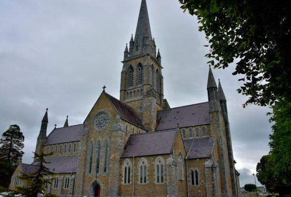 Church in Coill Bhaile Uí FhlaithimhChurch · 1531 yd
 CummeenMountain / peak · 1596 yd
 Church in Duagh (corkaguiny By.)Church · 1.2 mi
 KnockbegMountain / peak · 1.2 mi
 Glanteenassig Forest ParkForest · 2.4 mi
 Graveyard in Baile An Chnocáin (tc An Cnoc Glas)Graveyard · 3.2 mi
 Faisr's GraveArchaeological place · 3.3 mi
 Site of Camp CastleCastle, unclassified · 3.4 mi
 Site of CastleCastle, unclassified · 3.6 mi
 Inch BeachVisitor information · 4.5 mi