
What is recorded here
Towards its centre is a semicircular arc of walling, probably the remains of a hut (KE091-025001-), which measures 3.8m in internal diameter and survives as a neatly coursed wall of drystone masonry, .6m wide and .15m high.
The above description is derived from A. O'Sullivan and J. Sheehan (compilers), 'The Iveragh peninsula: an archaeological survey of South Kerry'. Cork University Press (1996), no. 585. In certain instances the entries have been revised and updated in the light of recent research.
Date of upload: 29 July 2013
The monument record does not grant public access. Check the route and ask the landowner before entering private land.
- What survives
- Recorded monument
Places near here
 Fulacht fia in Fermoyle (dunkerron South By.)Fulacht fia · 655 yd
 Enclosure in Fermoyle (dunkerron South By.)Enclosure · 805 yd
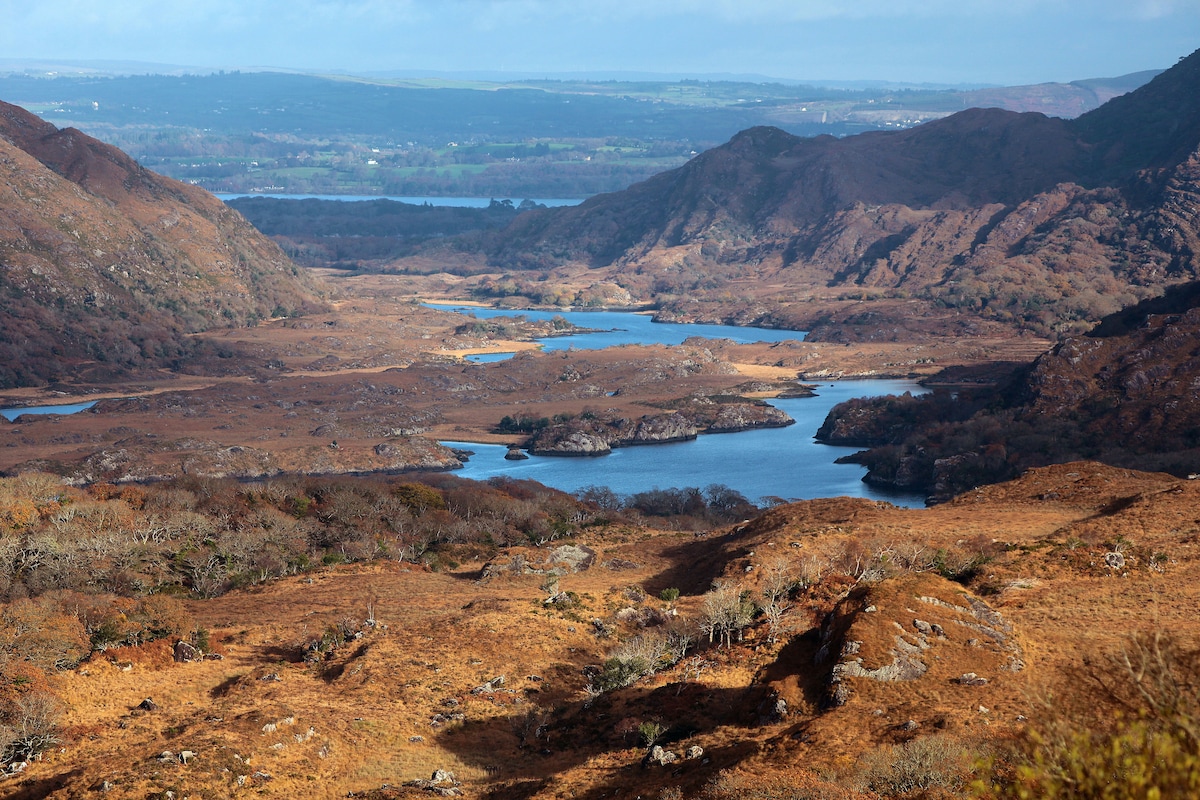 River HillMountain / peak · 1.3 mi
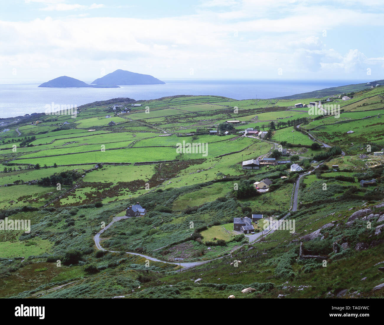 CoomnacroniaMountain / peak · 1.3 mi
 RoadRoad, road/trackway · 1.6 mi
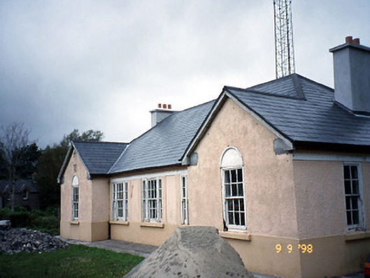 Sneem Garda Síochána Stationgarda station/constabulary barracks · 3.0 mi
 De Gaulle MemorialMonument · 3.0 mi
 Sneem Commemoration PlaqueMemorial · 3.1 mi
 GarinishIslet · 5.2 mi
 Rossdohan IslandIsland · 5.6 mi
 Ballaghbeama GapViewpoint · 5.7 mi
 Coral BeachBeach / strand · 5.9 mi
Other information
Photo: Credit not shown in the picture search · Rights wording not checked; contact us if this picture should be removed