
What is recorded here
Hot water hissed over cracked stone while people watched the Sneem valley below. They cooked, cleaned or healed there before death moved the same ground. New stones rose beside the old heat, marking the dead and preserving the life that first animated the place.
Located in a commanding position that overlooks the Sneem river valley to S, this fulacht fiadh was reused as a ceallúnach burial ground. The mound, measuring 14.8m N-S and ranging from .6m to 1m high, is composed of large quantities of fire-cracked stone. Horseshoe-shaped in plan, it is open at E. Here two upright slabs and some quartz blocks may relate to its use as a burial ground. A small stream runs nearby at SE.
The above description is derived from A. O'Sullivan and J. Sheehan (compilers), 'The Iveragh peninsula: an archaeological survey of South Kerry'. Cork University Press (1996), no. 430. In certain instances the entries have been revised and updated in the light of recent research.
Date of upload: 28 July 2013
The monument record does not grant public access. Check the route and ask the landowner before entering private land.
- What survives
- Recorded monument
Places near here
 Hut site in Fermoyle (dunkerron South By.)Hut site · 655 yd
 Enclosure in Fermoyle (dunkerron South By.)Enclosure · 983 yd
 RoadRoad, road/trackway · 1.5 mi
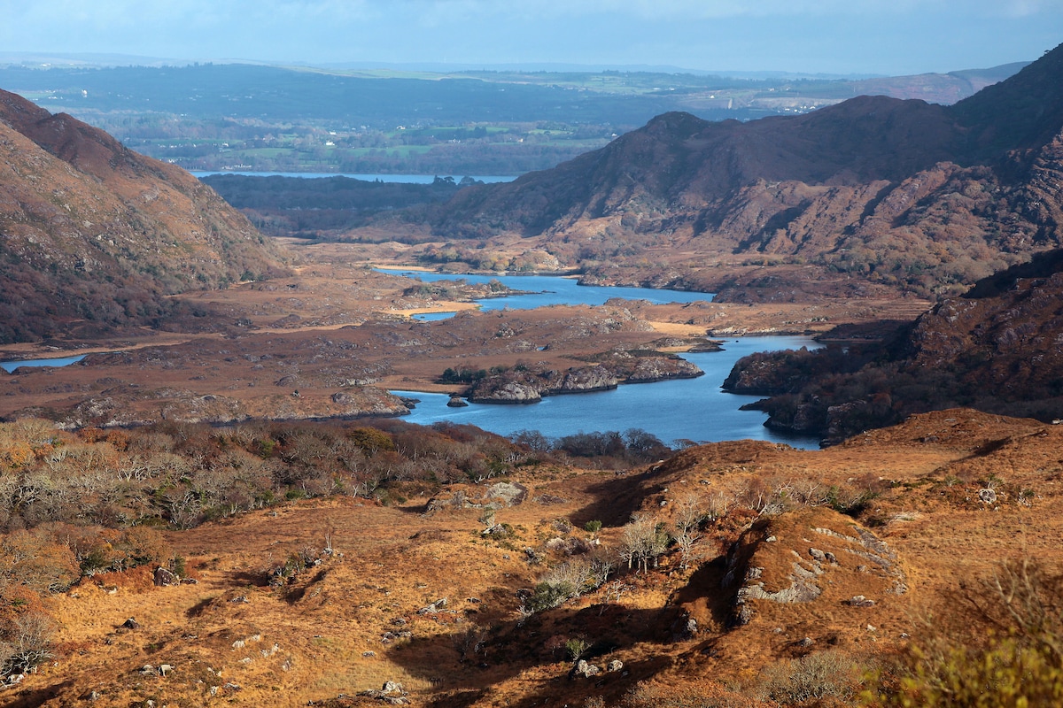 River HillMountain / peak · 1.6 mi
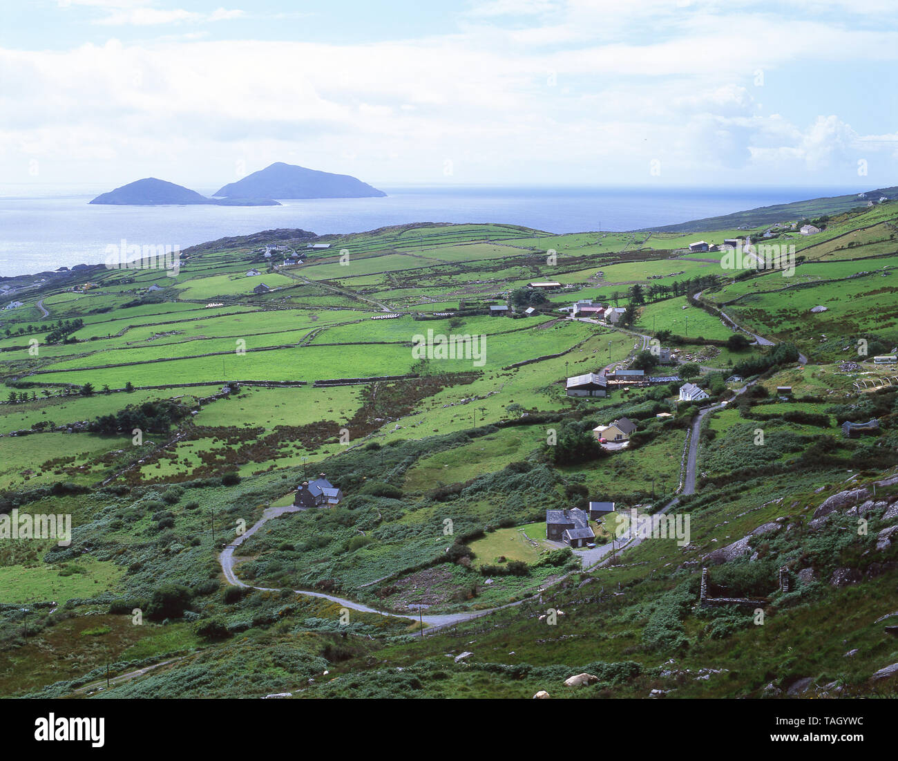 CoomnacroniaMountain / peak · 1.6 mi
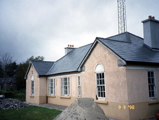 Sneem Garda Síochána Stationgarda station/constabulary barracks · 2.6 mi
 De Gaulle MemorialMonument · 2.6 mi
 Sneem Commemoration PlaqueMemorial · 2.7 mi
 GarinishIslet · 4.9 mi
 Rossmore IslandIsland · 5.6 mi
 Ballaghbeama GapViewpoint · 6.0 mi
 2Cliff · 6.5 mi
Other information
Photo: Credit not shown in the picture search · Rights wording not checked; contact us if this picture should be removed