What is recorded here
Circular univallate rath KE004-013---- has been cut on its E side by a fieldbank running N-S. The enclosing earthen bank is low and wide, measuring 1.2m externally and c 1m internally. Slight traces remain of an exterior fosse which is mainly distinguishable to the NNE;
In the ESE sector of the interior are the remains of a possible hut site (KE004-013001-), 5m x 7m, and stones are evident around this mound. Enclosing this mound from the NW through W to S is a bank c 1.6m wide and .6m high.
The above description is derived from C. Toal, ‘North Kerry Archaeological Survey’. Dingle. Brandon in association with FAS Training and Employment Authority (1995), no. 221. In certain instances the entries have been revised and updated in the light of recent research.
Date of upload: 2 August 2013
The monument record does not grant public access. Check the route and ask the landowner before entering private land.
- What survives
- Recorded monument
Places near here
 Doon Catholic Churchchurch/chapel · 281 yd
 Man-made underground passage in Doon WestMan-made underground passage · 569 yd
 Nuns' BeachBeach / strand · 879 yd
 Doon Castle (in ruins)Castle, unclassified · 942 yd
 Dookeenee CastleCastle · 1109 yd
 Ballybunion Cliff PathWalking route · 1203 yd
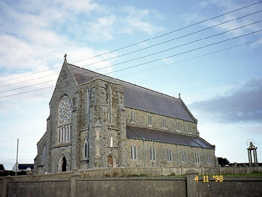 Saint John's Catholic Churchchurch/chapel · 1230 yd
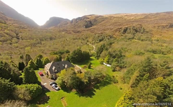 ToberreendoneyHoly well · 1254 yd
 Doon PointHeadland · 1256 yd
 Ladies' BeachBeach / strand · 1427 yd
 Bromore CliffsCliff · 1554 yd
 PulleenIslet · 1.2 mi