What is recorded here
In rough, heather-clad hill pasture, on the SE-facing slopes of The East Pap of Dana. The remains of a circular hut (3.5m E-W; 3.2m N-S) defined by a drystone wall (T 0.65m; H 0.3m) which protrudes above the bog. The wall of the hut is best preserved W-E but is totally collapsed and in a jumbled state E-W. Rubble is scattered within the interior. There is an entrance (Wth 0.4m) at the E. The remains of a curving stone wall (C 3.7m) abuts the hut externally along the SE arc. The hut is cut (D 0.2m) into the upslope at the N. The entire area is obscured by a dense growth of heather. There is another hut site (KE076-068002-) c. 10m to the N and there is a relict field wall (KE076-068004-) c. 70m to the E.
Compiled by: Elizabeth Byrne, Ursula Egan and Sheila Ronan, Archaeological Survey Unit, University College, Cork.
Date of upload: 31 January 2011
The monument record does not grant public access. Check the route and ask the landowner before entering private land.
- What survives
- Recorded monument
Places near here
 Field boundary in DerrynafinniaField boundary · 80 yd
 The Paps EastMountain / peak · 993 yd
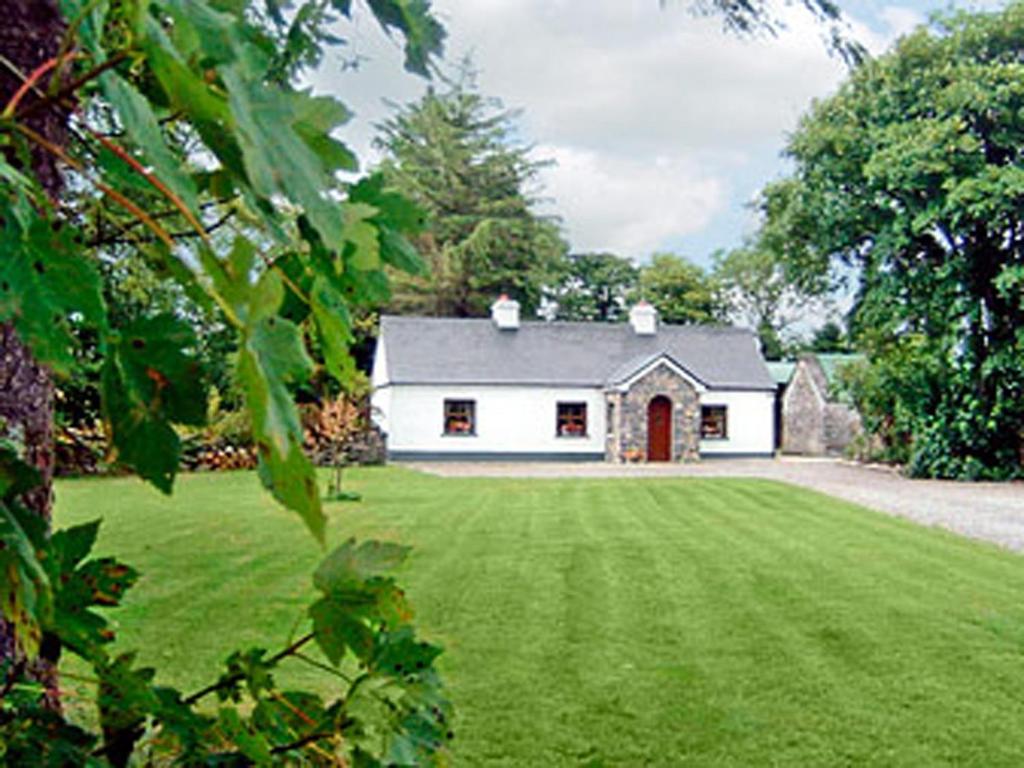 Clydagh LodgeCountry house · 1635 yd
 KilnKiln, lime · 1711 yd
 The Paps WestMountain / peak · 1757 yd
 SheepfoldEnclosure · 1.1 mi
 BarraduffMemorial · 4.8 mi
 Cascade WoodWood · 5.7 mi
 Killaha Castle (in Ruins)Castle, tower house · 5.8 mi
 Castle (Site of)Castle, unclassified · 5.8 mi
 Nohaval WoodWood · 6.3 mi
 Sli Gaeltacht MuscraiWalking route · 7.4 mi