
What is recorded here
Located on the saddle ridge that joins Broaghnabinnia to Curraghmore lake, at the head of the Cummeenduff river valley. The ruined foundations of a subcircular hut. D: 2.5m x 1.95m. H: .2m. T: .75m.
The above description is derived from A. O'Sullivan and J. Sheehan (compilers), 'The Iveragh peninsula: an archaeological survey of South Kerry'. Cork University Press (1996), no. 1234. In certain instances the entries have been revised and updated in the light of recent research.
Date of upload: 31 July 2013
The monument record does not grant public access. Check the route and ask the landowner before entering private land.
- What survives
- Recorded monument
Places near here
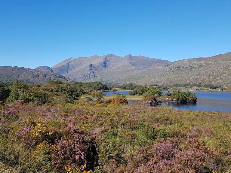 Enclosure in BridiaEnclosure · 239 yd
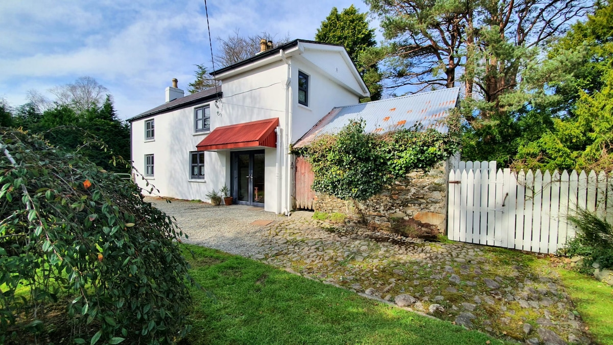 Hut site in BridiaHut site · 289 yd
 BroaghnabinniaMountain / peak · 1031 yd
 CurraghmoreMountain / peak · 1608 yd
 CarrauntoohilMountain / peak · 1.3 mi
 Devil's Ladder RouteWalking route · 2.3 mi
 Crash site of USAAF DakotaHeritage attraction · 2.6 mi
 Ballaghbeama GapViewpoint · 3.7 mi
 Eirk Bog Nature ReserveNature reserve · 4.2 mi
 Head of DunloeViewpoint · 4.5 mi
 Blackstones Bridgebridge · 6.1 mi
 Killoughane Church (in Ruins)Church · 6.2 mi
Other information
Photo: Credit not shown in the picture search · Rights wording not checked; contact us if this picture should be removed