What is recorded here
Cummeenshrule holds a small circular hut beside the Priest’s Leap, its stones no higher than a knee in a steep valley above the Coomeelan Stream. The building sits half on living rock, with a narrow entrance facing northwest and a little enclosure nearby for animals or cultivation. Whoever made it chose a tight, dangerous place where water, grass and rock all meet.
In rough steep hill grazing, on the N side of the Priest’s Leap, on a W facing valley containing a tributary of the Coomeelan Stream. The remains of a circular hut site (diam. c. 3m) defined by lower courses of a drystone wall (T 0.9m; H 0.3m) with entrance (Wth 0.6m) at NW. The S half of the hut is built on a low ridge of exposed bedrock. A small stream runs immediately to the W while the main river is further to the E. To the N and W the land rises steeply with terraces and rock faces. Immediately to the SW there is a small, roughly rectangular and partially built up area which could have been used for corralling livestock or for cultivation. Further to the SW and also to the N are two dry stone walls (KE103-060001-) built across natural terraces.
Compiled by: Caimin O'Brien based on details provided by Tony Miller
Date of upload: 21 February 2023
The monument record does not grant public access. Check the route and ask the landowner before entering private land.
- What survives
- Recorded monument
Places near here
 The Priests LeapViewpoint · 708 yd
 The Priest's LeapMountain / peak · 1072 yd
 Enclosure in CooleenlemaneEnclosure · 1214 yd
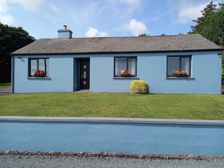 Hut site in CooleenlemaneHut site · 1297 yd
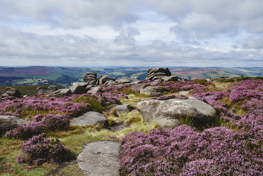 DrehidoughteraghBridge · 1.1 mi
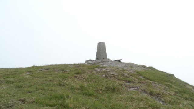 Knockboy North TopMountain / peak · 1.5 mi
 KilnKiln, lime · 1.6 mi
 Bullaun StoneHeritage attraction · 2.8 mi
 Bonane Heritage ParkMuseum · 2.8 mi
 CaoinkeenCliff · 2.8 mi
 Tasmanian bluegumTasmanian bluegum · 4.1 mi
 Daly's LoopWalking route · 4.1 mi