What is recorded here
In rough N-sloping boggy ground, in an evergreen forest, on the N slopes of Mullaghanish Mountain. The remains of a rectangular hut (4m NE-SW; 1.5m NW-SE) are defined by a partially collapsed, roughly built stone wall (T 1m; H 0.7m) surrounded by bog. A collapsed entrance occurs at SE.
Compiled by: Elizabeth Byrne, Ursula Egan and Sheila Ronan, Archaeological Survey Unit, University College, Cork.
Date of upload: 31 January 2011
The monument record does not grant public access. Check the route and ask the landowner before entering private land.
- What survives
- Recorded monument
Places near here
 MullaghanishMountain / peak · 983 yd
 Mullaghanish Far North-East TopMountain / peak · 1.0 mi
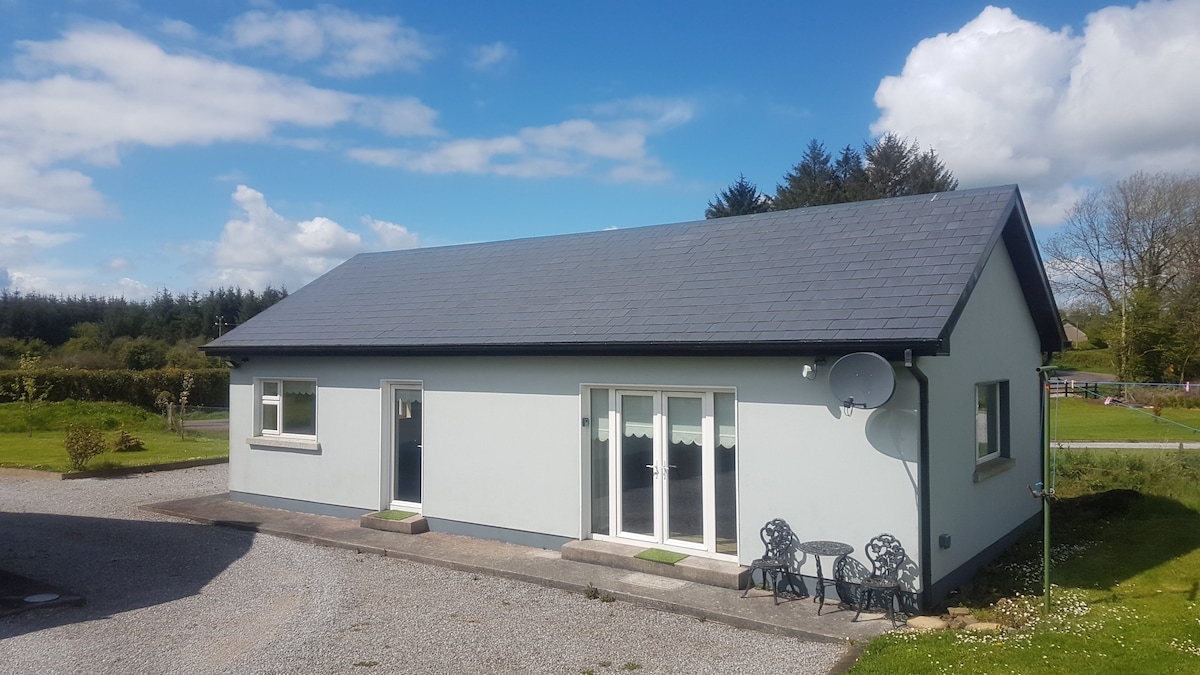 Hut site in Com An GhadhairHut site · 1.3 mi
 Dermot & Grania's BedArchaeological place · 1.7 mi
 KilnKiln, corn-drying · 2.5 mi
 Cascade WoodWood · 3.2 mi
 Castle (Site of)Castle, unclassified · 3.2 mi
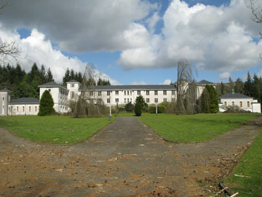 Coláiste Íosagáinschool · 3.3 mi
 Kealaboane WoodWood · 3.8 mi
 Kilmeedy CastleCastle, tower house · 4.3 mi
 Wildlife of the UplandsVisitor information · 4.8 mi
 Birds of DuhallowVisitor information · 4.8 mi