What is recorded here
Situated in the W interior of rath (RO029-046----). A possible hut-site is visible as a grass and scrub-covered platform (dims 12m N-S; 11m E-W) against the inner edge of the bank at W, defined by a scarp (Wth 2m; 0.3m) NNW-E-SSW.
Compiled by: Michael Moore
Date of upload: 28 July, 2016
The monument record does not grant public access. Check the route and ask the landowner before entering private land.
- What survives
- Recorded monument
Places near here
 IndicatedFairy fort / earthen ringfort · 14 yd
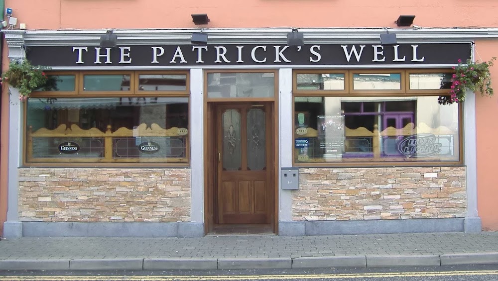 St Patricks WellHoly well · 555 yd
 Penitential station in GortlustiaPenitential station · 568 yd
 Strokestown ParkHeritage attraction · 2.5 mi
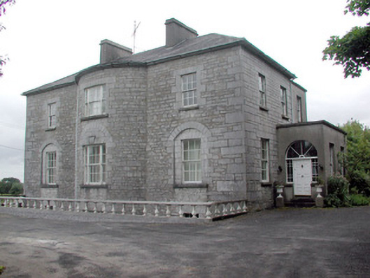 The Gleberectory/glebe/vicarage/curate's house · 2.5 mi
 CastleCastle, unclassified · 2.7 mi
 Doughill ForestForest · 2.7 mi
 Strokestown House GardensHeritage attraction · 2.7 mi
 Common LimeCommon Lime · 2.8 mi
 Slieve BawnMountain / peak · 3.3 mi
 Rabbit IslandIslet · 6.3 mi
 Leitrim CastleCastle, unclassified · 6.3 mi