What is recorded here
In pasture, on top of a limestone ridge, c. 25m SW of a cliff-edge and within a field system (SL040-121001-). A slightly sunken circular area (8.5m N-S; c. 8m E-W) enclosed by the remains of a sod-covered stony bank (Wth c. 1.7m; int. H 0.55m; ext. H 0.35m) which is most clearly visible E-SSW. A farm trackway has truncated the bank at NNW.
The above description is derived from the published 'Archaeological Inventory of County Sligo' compiled by Ursula Egan, Elizabeth Byrne, Mary Sleeman with Sheila Ronan and Connie Murphy (Dublin Stationery Office, 2005).
Date of upload: 18 January 2008
The monument record does not grant public access. Check the route and ask the landowner before entering private land.
- What survives
- Recorded monument
Places near here
 CashelFairy fort / stone ringfort · 400 yd
 Sweathouse in Cuilsheeghary MoreSweathouse · 614 yd
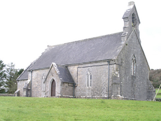 Aghanagh Churchchurch/chapel · 1070 yd
 Carricknahorna EastMountain / peak · 1121 yd
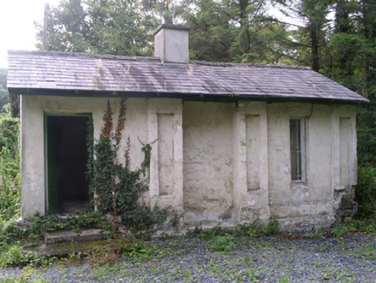 Hollybrook Housegate lodge · 1235 yd
 Bricklieve MountainsMountain / peak · 1.3 mi
 Ballinafad CastleCastle · 1.4 mi
 Muck IslandIslet · 1.6 mi
 Treanscrabbagh caveCave · 1.8 mi
 TumulusCastle, motte · 2.2 mi
 InishmoreIslet · 2.2 mi
 Loughbrick BayBay · 2.3 mi