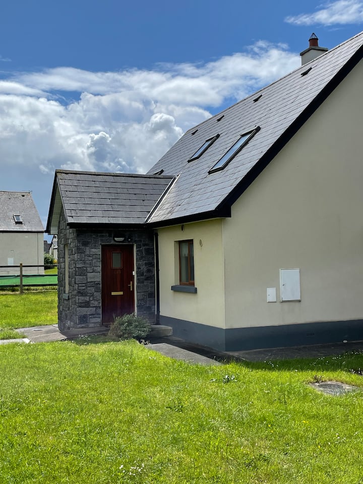
What is recorded here
Listed in both the SMR (1989) and RMP (1995) and classified 'Sweathouse' and 'Sweathouse Possible' repectively. Not indicated on any edition of the OS 6-inch map. According to M. A. Timoney (pers. comm.) this is the site of a sweat house. There are no visible remains of it. This is likely to date to the post-1700 AD period.
Compiled by: Archaeological Survey Unit, UCC
Date of upload: 06 January 2012
This remains an important historical record, but the official description says the monument is no longer visible or has been destroyed. The monument record does not grant public access. Check the route and ask the landowner before entering private land.
- What survives
- No visible remains or recorded as destroyed
Places near here
 Hut site in Carricknahorna EastHut site · 141 yd
 CashelFairy fort / stone ringfort · 328 yd
 Carricknahorna EastMountain / peak · 1424 yd
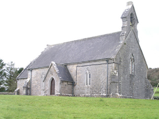 Aghanagh Churchchurch/chapel · 1484 yd
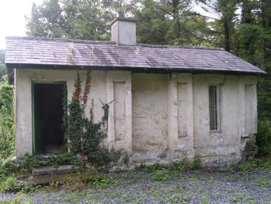 Hollybrook Housegate lodge · 1575 yd
 Ballinafad CastleCastle · 1.1 mi
 Bricklieve MountainsMountain / peak · 1.5 mi
 Muck IslandIslet · 1.7 mi
 Treanscrabbagh caveCave · 2.0 mi
 MoatCastle, motte · 2.3 mi
 InishmoreIslet · 2.5 mi
 Loughbrick BayBay · 2.5 mi
Other information
Photo: Credit not shown in the picture search · Rights wording not checked; contact us if this picture should be removed