What is recorded here
On a NE facing slope in pasture. Originally a circular area (diam. 4.2m) enclosed by a low bank of earth and stone (H 0.3). No fosse. The monument has been truncated by a field boundary. Original entrance not recognisable. It is referred to locally as 'fort'.
Compiled by Patrick F. O'Donovan
Date of upload 07 March 2013
The monument record does not grant public access. Check the route and ask the landowner before entering private land.
- What survives
- Recorded monument
Places near here
 CaveFairy fort / earthen ringfort · 76 yd
 IndicatedFairy fort / stone ringfort · 323 yd
 Church (in Ruins)Church · 356 yd
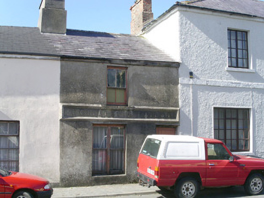 E. Gillespiebuilding misc · 502 yd
 Creevykeel Court TombNeolithic court tomb · 1259 yd
 Classiebawn WoodsWood · 1733 yd
 Trawalua StrandBeach / strand · 1.1 mi
 Unbaptised Children MonumentMemorial · 1.4 mi
 assassination of Louis Mountbatten, 1st Earl Mountbatten of Burmaassassination · 2.2 mi
 Mullaghmore HeadVisitor information · 2.6 mi
 Wild Atlantic Way: Mullaghmore HeadVisitor information · 2.6 mi
 BenwiskinMountain / peak · 3.2 mi