What is recorded here
In rough hill pasture, on a small terrace with occasional outcropping rock at the foot of a steep S-facing slope. The remains of a circular hut site (diam. 5m) defined by intermittent traces of a bank (Wth 0.6m; H 0.1m). The level interior is raised (H 0.8m) along the SE-SW arc and is cut (D 0.4m) into the upslope at N. The raised S portion of the hut site is revetted by a collapsing stone wall.
The above description is derived from 'The Archaeological Inventory of County Cork. Volume 5' (Dublin: Stationery Office, 2009).
Date of upload: 22 December 2009
The monument record does not grant public access. Check the route and ask the landowner before entering private land.
- What survives
- Recorded monument
Places near here
 Field boundary in CoomarkaneField boundary · 426 yd
 Hut site in Crossterry WestHut site · 434 yd
 Old Stone CottagesHeritage attraction · 535 yd
 Glenlough MountainMountain / peak · 1743 yd
 Derrynafulla SWMountain / peak · 1.2 mi
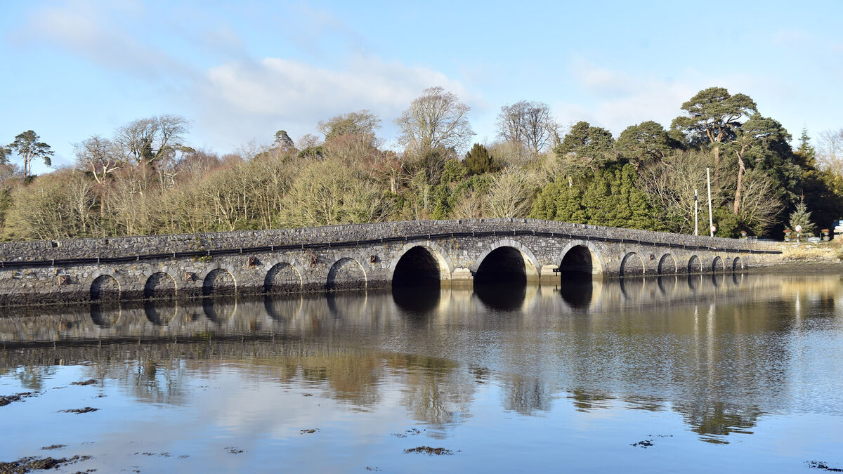 Bridge in Coorannel,derrynafullaBridge · 1.9 mi
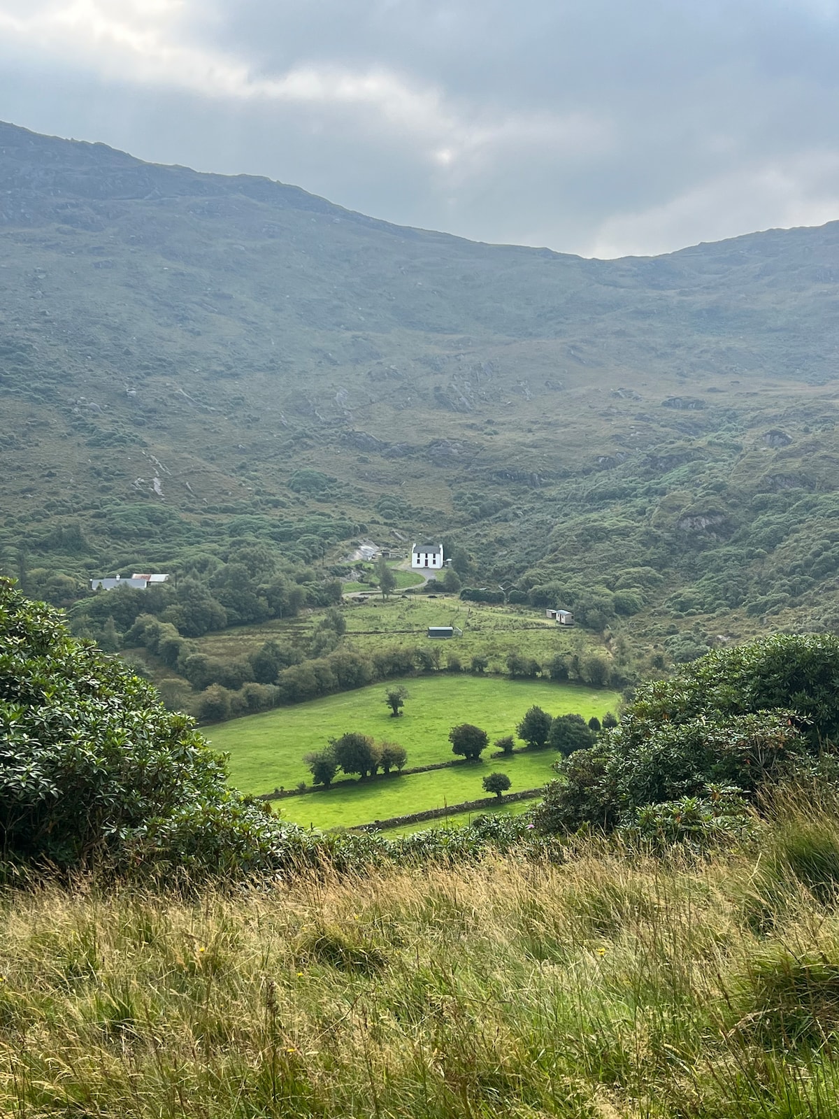 Ahnaclaha BrBridge · 2.4 mi
 Glengarriff WoodsWood · 2.6 mi
 DroppaCliff · 3.0 mi
 Lady Bantry's LookoutViewpoint · 3.0 mi
 Graveyard in CappyaughnaGraveyard · 3.5 mi
 IllaunageraghIslet · 3.5 mi