What is recorded here
In rough fern-covered hill pasture, on an E-facing slope in an E-W hollow to the NE of the summit of Mount Corin. The jumbled remains of a D-shaped hut site (2.2m N-S) defined by a collapsed, curving, drystone wall (T 0.6m; H 0.1-0.4m) with straight S side (L 2.6m). Rubble is scattered around the hut site externally and in the level interior, which is largely obscured by ferns. Two other hut sites (CO130-056001-, CO130-056002-) are c. 20m to the E.
The above description is derived from 'The Archaeological Inventory of County Cork. Volume 5' (Dublin: Stationery Office, 2009).
Date of upload: 22 December 2009
The monument record does not grant public access. Check the route and ask the landowner before entering private land.
- What survives
- Recorded monument
Places near here
 Mount CorrinMountain / peak · 116 yd
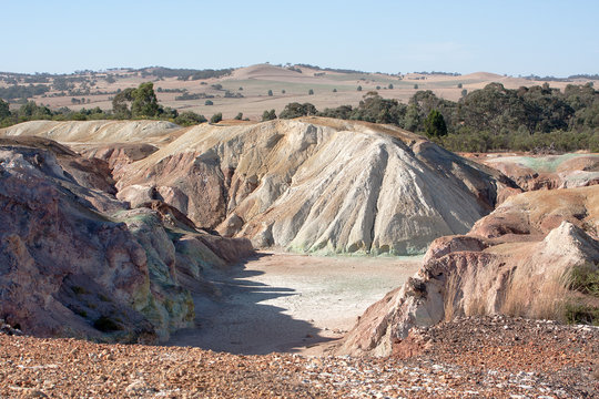 MineMine, copper · 860 yd
 Megalithic structure in CoolcoulaghtaMegalithic structure · 1257 yd
 Durrus Lodgecountry house · 1689 yd
 Boulder-burial in CoolcoulaghtaBoulder-burial · 1753 yd
 Mannion's Island (Large)Islet · 1.6 mi
 Mannion's Island (Small)Islet · 1.6 mi
 Rossmore Castle (in Ruins)Castle, tower house · 1.7 mi
 KilbreaghMountain / peak · 1.8 mi
 Coolnalong Castle (in Ruins)House, fortified house · 2.1 mi
 Mount Gabriel View Point toward SouthViewpoint · 2.7 mi
 Mount Gabriel View Point toward NorthViewpoint · 2.8 mi
Other information
Photo: Credit not shown in the picture search · Rights wording not checked; contact us if this picture should be removed