
What is recorded here
From the National Monuments Service (Archaeological Survey of Ireland) record KE043-126
Places near here
Photo credits
- Maker not stated on source page, www.irishmirror.ie
- Maker not stated on source page, www.isle-of-mull.net
- Maker not stated on source page, commons.wikimedia.org
- Maker not stated on source page, wellcomecollection.org
- Maker not stated on source page, electricbluefood.com
- Maker not stated on source page, br.pinterest.com
- Ingo Mehling, Wikimedia Commons · CC BY-SA 3.0
- Boston at English Wikipedia, Wikimedia Commons · Public domain
- Mick Garratt, Geograph · CC BY-SA 2.0
- Maker not stated on source page, www.alamy.com
- Seandálaí, Wikimedia Commons · CC BY-SA 4.0
- Ramsey Cardy / Sportsfile, credited in The Irish Times caption, www.irishtimes.com
 Fairy fort / earthen ringfort in Cnoc An Bhróigín ThiarFairy fort / earthen ringfort · 901 yd
Explorer Tom Fairy fort / earthen ringfort in Cnoc An Bhróigín Thiar inspired a terrible poem once. 'Oh ring, oh round, oh muddy…
 Standing stone in Leataoibh MórStanding stone · 915 yd
Explorer Tom Standing stone in Leataoibh Mór is technically gone but still thinks it can survive a zombie attack by just standing…
 Cross-inscribed stone in An Baile Íochtarach (par. Cill Dromann)Cross-inscribed stone · 950 yd
Explorer Tom Cross-inscribed stone in An Baile Íochtarach has had more names than I have ex-girlfriends, which is quite a few…
 Holed stone in An Baile Íochtarach (par. Cill Dromann)Holed stone · 956 yd
Explorer Tom Holed stone in An Baile Íochtarach has a hidden message in its hole that only cats can read, which is very exclusive…
 Kildrum GraveyardGraveyard · 964 yd
Explorer Tom Kildrum Graveyard in County Kerry is explaining the 1800s to a teenager who just discovered Wi-Fi. It says everyone…
 Church in Leataoibh MórChurch · 1528 yd
Explorer Tom Church in Leataoibh Mór had a prophecy that it would fly away one Tuesday morning, which never happened because it was…
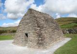 Gallarus OratoryHeritage attraction · 1677 yd
Explorer Tom Gallarus can shrug off Kerry rain better than my old coat. Gallarus Oratory has the shape of an overturned stone boat…
 Gallarus CastleCastle · 1.3 mi
Explorer Tom Gallarus Castle rises above Baile na nGall on the Dingle Peninsula, a four-storey tower that seems to have borrowed the…
 Gallarus Castle (in ruins)Castle, tower house · 1.3 mi
Explorer Tom Gallarus Castle sits by Smerwick Harbour, acting like it’s the main event when it’s just a tower. I heard a fox took…
 Mapped cemeteryCemetery · 1.5 mi
Explorer Tom Mapped cemetery in County Kerry supposedly had a smuggling ring operating from the back corner, moving crates of what…
 Oratory (in ruins)Church · 1.6 mi
Explorer Tom The Oratory in Cill Maoilchéadair is drafting a formal complaint to the council about all this damp getting into its…
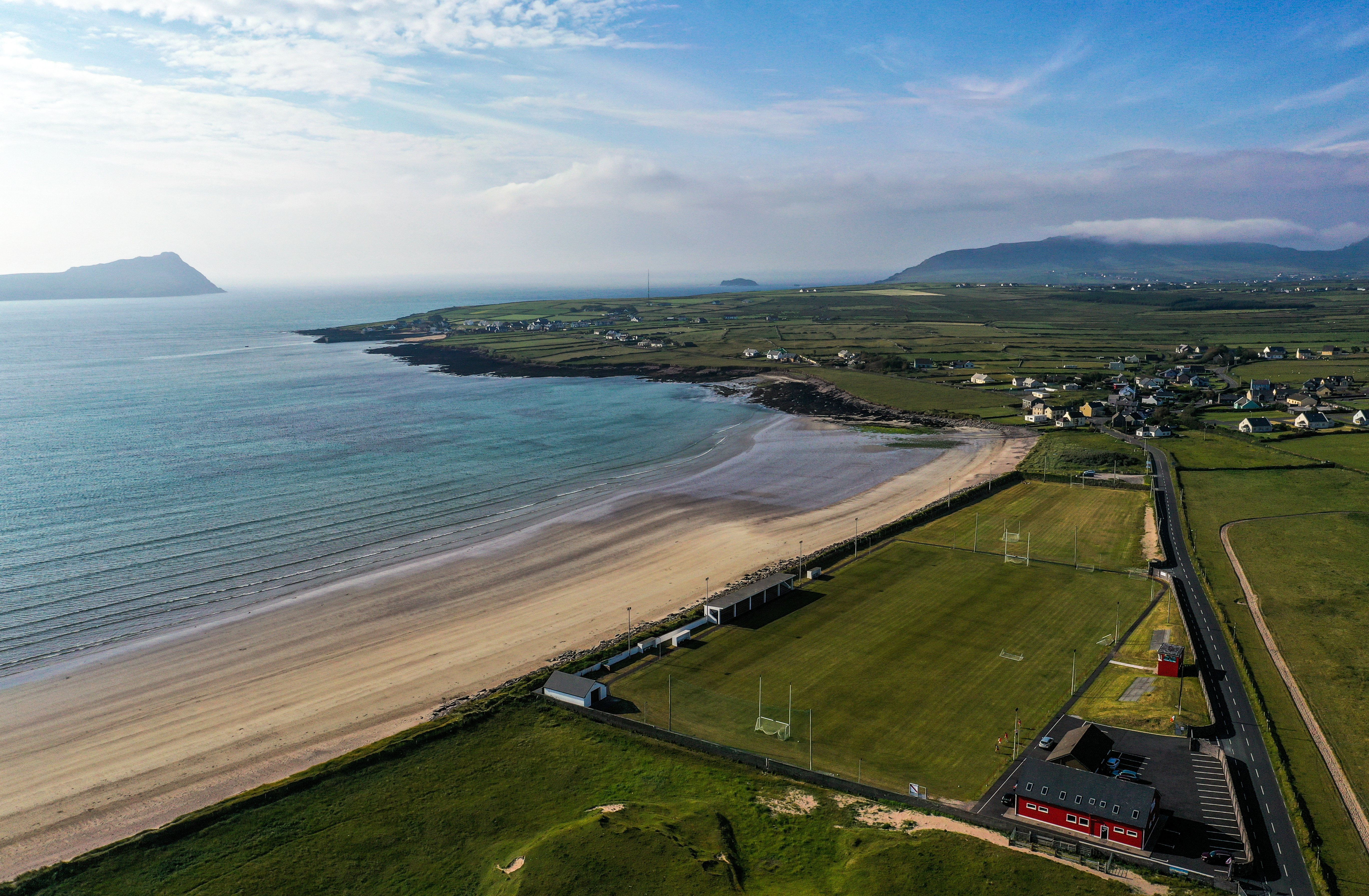 Gallarus, An GhaeltachtGAA ground · 1.8 mi
More archaeology and monuments in County Kerry · All of County Kerry

What do you know about this place?Tap to add a comment or ask a question