What is recorded here
Four metres east of the promontory fort wall, two rectangular stone huts cling to the cliff edge, their seaward sides surrendered to erosion. The larger measures seven by three metres with a probable southeast entrance, while the smaller sits two metres north at five by three metres. Both remain partly collapsed, preserving just enough shape to suggest domestic life beside a defensive stronghold. The sea has already taken half their walls, reminding anyone who visits that even stone obedience ends where the cliff drops away.
Adjacent to a promontory fort (DG023-001001-). (2) 4m E of the N end of the landward defensive wall [of the promontory fort] is the rectangular remains of a stone structure (DG023-001003-) 7m × 3m. One side of this is built along the cliff edge and has partly collapsed. There is a probable entrance to the SE. 2m N of this is another similar structure (DG023-001009-) 5m × 2m to 3m. It is also partly eroded along the cliff edge.
The above description was derived from the 'Archaeological Survey of County Donegal. A description of the field antiquities of the County from the Mesolithic Period to the 17th century.' Compiled by: Brian Lacey with Eamon Cody, Claire Cotter, Judy Cuppage, Noel Dunne, Vincent Hurley, Celie O'Rahilly, Paul Walsh and Seán Ó Nualláin (Lifford: Donegal County Council, 1983). In certain instances the entries have been revised and updated.
Date of upload: 22 September 2008
The monument record does not grant public access. Check the route and ask the landowner before entering private land.
- What survives
- Recorded monument
Places near here
 Bloody Foreland Doon / Coastal Promontory FortPromontory fort, coastal · 18 yd
 Cnoc Fola Enclosure near Rinardalliff PointEnclosure · 26 yd
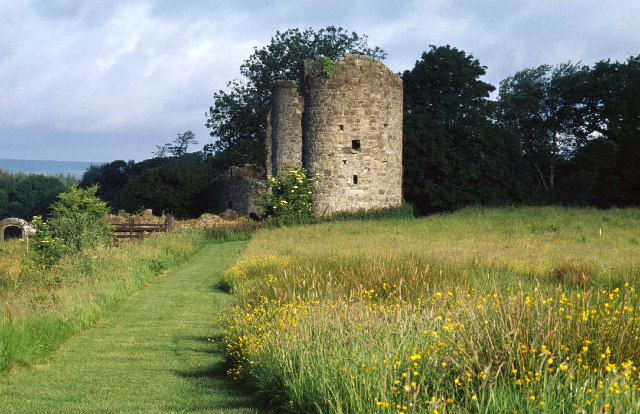 Old CastleCastle, unclassified · 31 yd
 Knockfola Signal TowerRuins · 778 yd
 Cnoc FolaVisitor information · 1659 yd
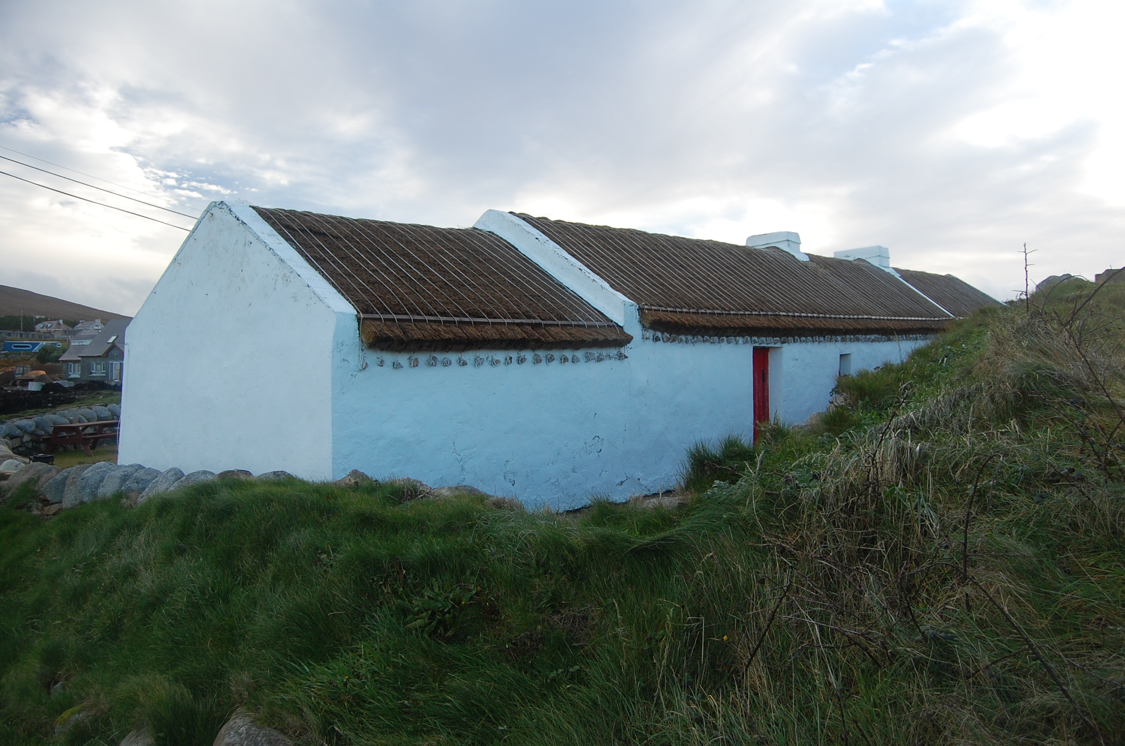 Teach Mhuirishouse · 1.7 mi
 Inis OirthirIsland · 2.7 mi
 Portarthur, DerrybegOfficial bathing water · 3.5 mi
 MagheraroartyOfficial bathing water · 4.9 mi
 GabhlaIsland · 5.1 mi
 Inland CragCliff · 5.1 mi
 Main WallCliff · 5.2 mi