What is recorded here
In the NE quadrant of a moated site (SL026-095----). A low flat-topped subcircular rise (c. 9m N-S; 7.5m E-S) defined N-E by the scarp of the moated site which is topped with a low stony rim (Wth c. 1m; int. H 0.4m). At W and S the rise is poorly defined by a very low slumped scarp (H c. 0.3m).
The above description is derived from the published 'Archaeological Inventory of County Sligo' compiled by Ursula Egan, Elizabeth Byrne, Mary Sleeman with Sheila Ronan and Connie Murphy (Dublin Stationery Office, 2005).
Date of upload: 18 January 2008
The monument record does not grant public access. Check the route and ask the landowner before entering private land.
- What survives
- Recorded monument
Places near here
 Indicated (1838).Fairy fort / earthen ringfort · 155 yd
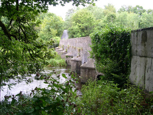 Ardcree Bridgebridge · 388 yd
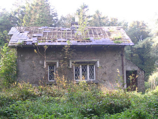 Annaghmore Housegate lodge · 462 yd
 Enclosure in Annaghmore (tirerrill By.)Enclosure · 558 yd
 Moymlough Castle (in Ruins)Castle, tower house · 1.8 mi
 Castle (Site of)Castle, unclassified · 1.8 mi
 Tullaghan HillMountain / peak · 3.0 mi
 European ashEuropean ash · 3.0 mi
 ElderElder · 3.1 mi
 CroaghaunMountain / peak · 3.3 mi
 James MorrisonMemorial · 3.9 mi
 RinnatalleenHeadland · 4.9 mi