What is recorded here
An Baile Dubh holds two huts inside one shallow bank on level Kerry ground, exposing a small domestic world rather than a grand fortress. The open outlook in every direction suggests residents watched weather, travellers or danger across the wide plain. One hut leaves a short arc of wall at the north-east, while the second fades into soil, inviting imagination about the people who lived there before the field changed.
Univallate rath KE035-059---- contains traces of 2 huts. It is sited on level ground, with an open outlook in all directions, and the surrounding field is in the process of being reclaimed.
A short arc of the wall of a 2nd hut KE035-059002- lies immediately inside the enclosing bank at NNE.
The above description is derived from J. Cuppage, ‘Corca Dhuibhne. Dingle Peninsula archaeological survey. Ballyferriter. Oidhreacht Chorca Dhuibhne’ (1986), no. 475. In certain instances the entries have been revised and updated in the light of recent research.
Date of upload: 7 August 2013
The monument record does not grant public access. Check the route and ask the landowner before entering private land.
- What survives
- Recorded monument
Places near here
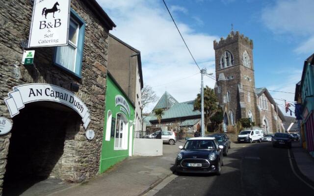 Hut site in Cill Mhuire (tc An Baile Dubh)Hut site · 9 yd
 Man-made underground passage in Cill Mhuire (tc An Baile Dubh)Man-made underground passage · 138 yd
 Church in Cill An UrdráinChurch · 1168 yd
 Drom BeachBeach / strand · 1.1 mi
 Séipéal Bhréanainn [Saint Brendan's Catholic Church]church/chapel · 1.2 mi
 An t'Oileán DubhIslet · 1.7 mi
 Site of CastleCastle, unclassified · 1.8 mi
 An CheapaighBeach / strand · 1.8 mi
 Sliabh na nGabharMountain / peak · 2.0 mi
 Hillville WoodWood · 2.0 mi
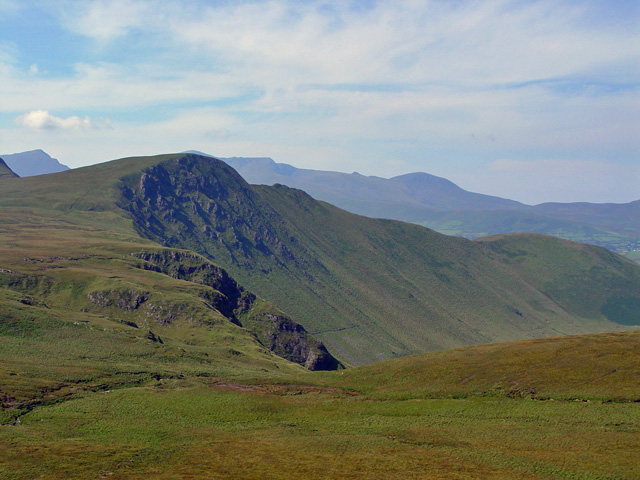 Gob an IolairMountain / peak · 2.0 mi
 Pointe na CathrachHeadland · 2.7 mi