What is recorded here
Situated on a marked W-facing slope in uncleared stony pasture. Subrectangular hut (WI033-028----) (max. int. dims. 2.1m E-W; 1.8m N-S) defined by a rough stone wall (Wth 1m; H 0.6m) with more regular internal facing. Possible hut platform (WI033-028001-) (diam. 1.7m) 3m to SE, a second (WI033-028003-), edged with small boulders (diam. 5m), 5m to E and 5m further E is a natural rock cleft (WI033-028004-) roughly lined with boulders. Three small clearance cairns (TS033-028002-)occur within 10m of the huts. Since this monument was visited in 1990 this area has been planted with forestry. An inspection in 2012 revealed that this monument, as well as the associated monuments (WI033-028----; WI033-028002- to WI033-028004-) are no longer visible above ground and are likely to be at least partially destroyed by the forestry.
The above description is derived from the published 'Archaeological Inventory of County Wicklow' (Dublin: Stationery Office, 1997). In certain instances the entries have been revised and updated in the light of recent research.
Compiled by: Jean Farrelly
Date of upload: 19 November 2012
The monument record does not grant public access. Check the route and ask the landowner before entering private land.
- What survives
- Recorded monument
Places near here
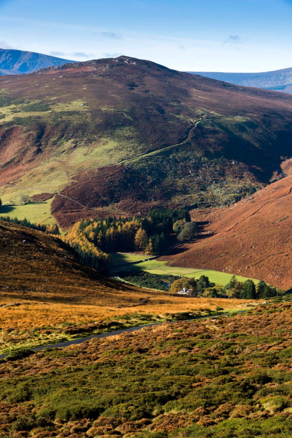 Ballycurragh HillMountain / peak · 1.4 mi
 Enclosure in Kilcarney LowerEnclosure · 1.5 mi
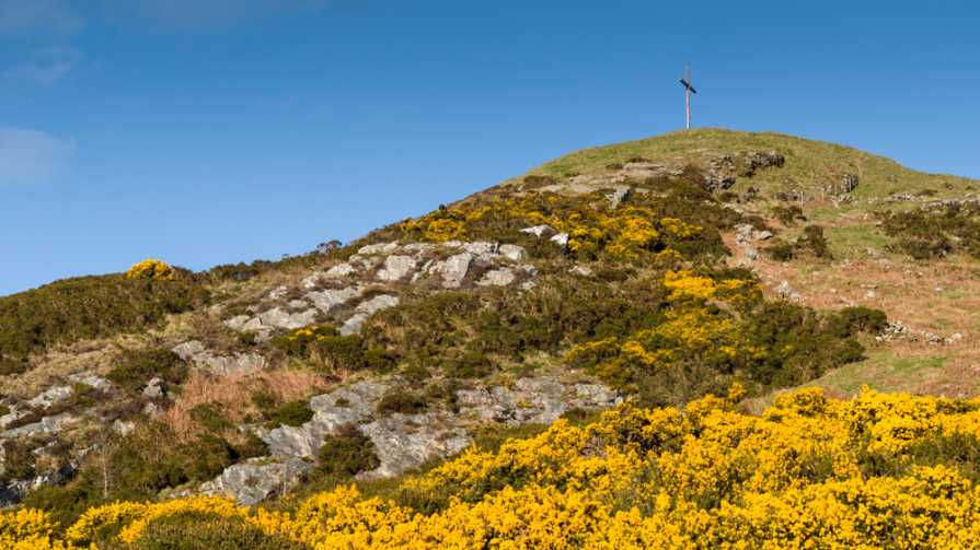 IndicatedEnclosure · 1.7 mi
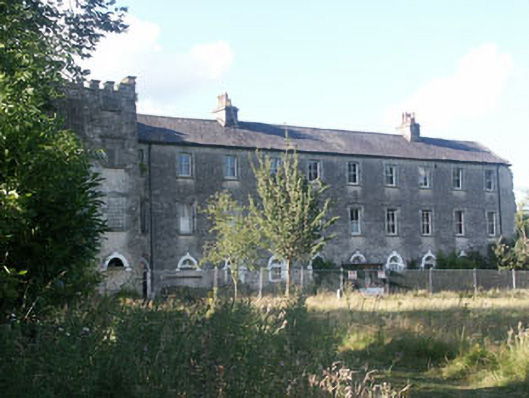 Aghavannagh Barrackbarracks · 1.8 mi
 Saint John's Church (Moyne)church/chapel · 2.3 mi
 The Stripped FlagsNamed rock · 2.4 mi
 Ballinagappoge MountainMountain / peak · 3.0 mi
 (Site of) Castle LaurenceCastle, unclassified · 3.3 mi
 Drumgoff Forest Recreation AreaForest · 3.7 mi
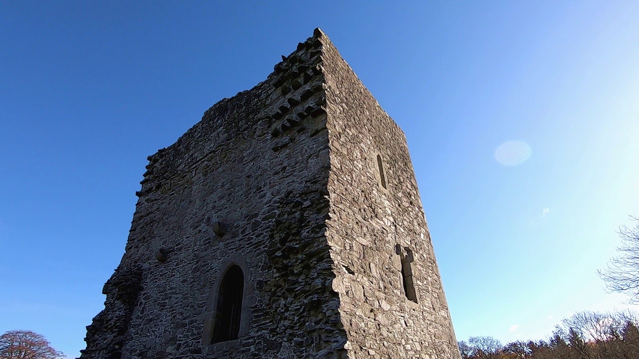 CastleCastle, motte · 4.0 mi
 Luke O'Toole MemorialMemorial · 4.3 mi
 The Black StairsNamed rock · 4.4 mi