What is recorded here
Within an old field system on the NW slopes of Bentee mountain. The collapsed foundations of a rectangular hut, defined by a double row of orthostats and drystone masonry. At W five upright slabs, adjacent to one another, are set at right angles to the line of the wall. At E two large uprights, set .5m apart, define the entrance. D: 3m x 2.4m. T: 1.2m. An almost square arrangement of upright slabs abutting the external wall at NW may represent a second structure.
About 12m to S a natural cave, augmented with drystone masonry and a couple of roofing lintels, measures 3m deep, .9m high and 1.5m wide. It may have been used as an animal shelter, though Henry concluded that it functioned as a well (1957, 72).
The above description is derived from A. O'Sullivan and J. Sheehan (compilers), 'The Iveragh peninsula: an archaeological survey of South Kerry'. Cork University Press (1996), no. 1175. In certain instances the entries have been revised and updated in the light of recent research.
Date of upload: 31 July 2013
The monument record does not grant public access. Check the route and ask the landowner before entering private land.
- What survives
- Recorded monument
Places near here
 Field system in CahersiveenField system · 27 yd
 Megalithic structure in GarranebaneMegalithic structure · 306 yd
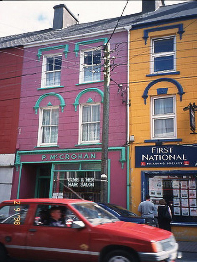 P. McCrohanhouse · 518 yd
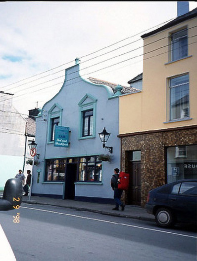 Corner Househouse · 518 yd
 CastleCastle, unclassified · 698 yd
 BenteeMountain / peak · 1119 yd
 Foughil IslandIslet · 1.1 mi
 Laharn Bog LoopWalking route · 1.2 mi
 Mc Crehins Castle (Site of)Castle, unclassified · 1.2 mi
 Ballycarbery CastleRuins · 1.6 mi
 White Strand BeachBeach / strand · 2.2 mi
 SlievaghMountain / peak · 3.1 mi
Other information
Photo: Credit not shown in the picture search · Rights wording not checked; contact us if this picture should be removed