
What is recorded here
In rough hill grazing on bog on the N-facing slopes of Bentee and overlooking Cahersiveen and Valencia Harbour. The remains of field walls (T 0.6m; H up to 0.7m) protrude above the surface of the shallow bog in a roughly rectangular area (c. 130m NW-SE; c. 70m NE-SW). The walls, which have several gaps, are both linear and curvilinear and consist mainly of upright slabs. Most of the slabs are set at right angles to the line of the wall with spaces of varying widths between them. There is a hut site (KE079-041----) in the NW portion of the field system. (O'Sullivan and Sheehan 1996, 394, no. 1175)
The above description is derived from the published 'Archaeological Inventory of County Kerry. Volume I: South-West Kerry' (Dublin: Stationery Office, 2009). In certain instances the entries have been revised and updated in the light of recent research.
Date of upload: 30 May 2011
The monument record does not grant public access. Check the route and ask the landowner before entering private land.
- What survives
- Recorded monument
Places near here
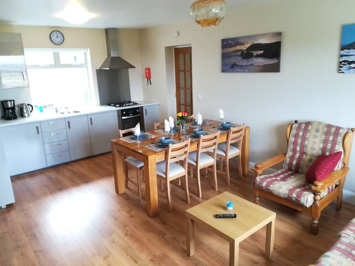 Hut site in CahersiveenHut site · 27 yd
 Megalithic structure in GarranebaneMegalithic structure · 332 yd
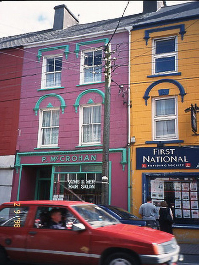 P. McCrohanhouse · 500 yd
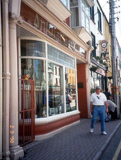 An Tig Gaedhealachhouse · 503 yd
 CastleCastle, unclassified · 709 yd
 BenteeMountain / peak · 1137 yd
 Foughil IslandIslet · 1.2 mi
 Laharn Bog LoopWalking route · 1.2 mi
 Mc Crehins Castle (Site of)Castle, unclassified · 1.2 mi
 Ballycarbery CastleRuins · 1.6 mi
 White Strand BeachBeach / strand · 2.2 mi
 SlievaghMountain / peak · 3.1 mi
Other information
Photo: Credit not shown in the picture search · Rights wording not checked; contact us if this picture should be removed