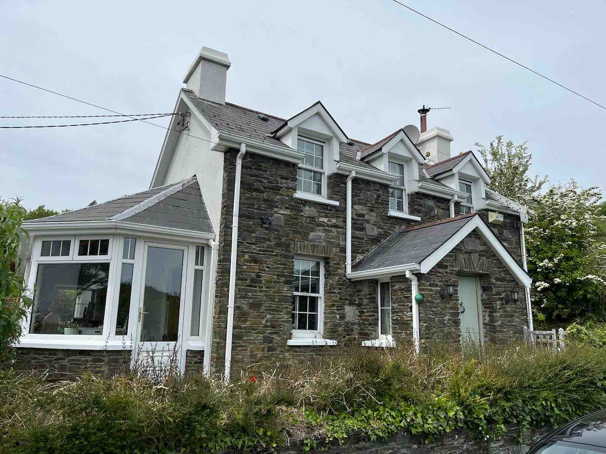
What is recorded here
In rough hill grazing, on a NE-SW terrace on a NW-facing slope overlooking Bantry Bay and Bere Island. The remains of a rectangular hut site (4.2m N-S; 1.9m E-W) defined by a roughly built stone wall (T 0.55m; H 0.7m) which protrudes above the surface of the bog. An internal E-W stone wall (T 0.4m) forms a separate compartment (Wth 1.4m) in the N quadrant of the structure. Another hut site (CO129-028002-) is c. 7m to the N.
The above description is derived from 'The Archaeological Inventory of County Cork. Volume 5' (Dublin: Stationery Office, 2009).
Date of upload: 22 December 2009
The monument record does not grant public access. Check the route and ask the landowner before entering private land.
- What survives
- Recorded monument
Places near here
 Caher MountainMountain / peak · 335 yd
 Peakeen Ridge Loop WalkWalking route · 469 yd
 Sheep's Head - Peakeen Ridge Linear WalkWalking route · 732 yd
 Megalithic TombMonument · 1596 yd
 Burial GdBurial ground · 1.1 mi
 Mass RockMemorial · 1.4 mi
 Finn McCool's SeatViewpoint · 1.7 mi
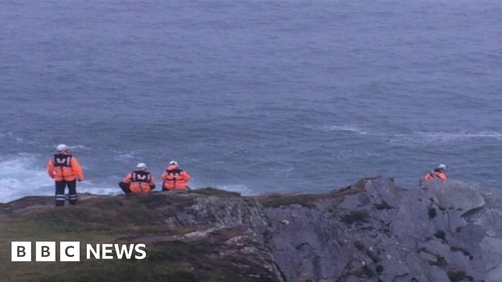 Drowning in Dunmanus BayMemorial · 1.7 mi
 surgery/clinicsurgery/clinic · 1.7 mi
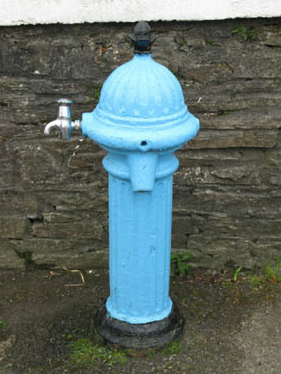 water pumpwater pump · 1.8 mi
 SeefinMountain / peak · 2.2 mi
 Sheep's Head - Caher LoopWalking route · 1.2 mi
Other information
Photo: Credit not shown in the picture search · Rights wording not checked; contact us if this picture should be removed