What is recorded here
Located in the interior of a cashel (MA121-153002-). An inspection in 1984 recorded a possible hut site (1.5m N–S; 4m E-W) against the inner face of the cashel wall at N. It was described as being poorly defined and possibly a later in date than the cashel. (SMR file). Lavelle (1994, 43, no. 259) recorded that it was 'Levelled during land reclamation (NMI).'
Compiled by: Jane O'Shaughnessy
Date of upload: 14 January 2015
The monument record does not grant public access. Check the route and ask the landowner before entering private land.
- What survives
- Recorded monument
Places near here
 Enclosure in MoorgagaghEnclosure · 630 yd
 Abbey in ruinsReligious house, Franciscan Third Order Regular · 901 yd
 IndicatedEnclosure · 940 yd
 Castle in ruinsCastle, tower house · 1135 yd
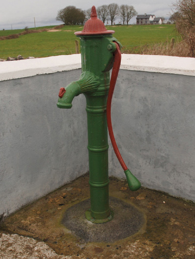 water pumpwater pump · 1184 yd
 Mocorha CastleCastle · 1.4 mi
 Cregg PlantationForest · 1.6 mi
 Pesooge PlantationForest · 2.2 mi
 Ross Errilly FriaryHeritage attraction · 4.0 mi
 Gibbs IslandsIslet · 4.5 mi
 Red Island RockIslet · 5.0 mi
 School of FalconryHeritage attraction · 6.9 mi