What is recorded here
Barnastooka is the smallest home recorded in the area, an elongated oval chamber barely large enough for one person to sit upright. It hides in the upper northwest corner of NICH36, with its open eastern end facing the land rather than a grand entrance. The southwest wall belongs to the larger enclosure, while two low stone lines mark the sides of this private shelter. Someone may have used it for watchkeeping, birth, death or quiet thought, but its size suggests the occupant valued solitude more than display.
New site identified by John Cronin & Associates (JCA) under Licence No. 16E0127 prior to wind farm development in Barnastooka, Kilgarvan, Co. Kerry by ESB Wind Development Ltd. The remains of an elongated, oval hut site, long axis aligned NE-SW, with southwest end formed by enclosing wall of NICH36 (ITM grid. co-ord. 505545, 571357). Its northern and southern side walls are only one course of stones high (avg.: 0.4m) but are an average of 0.7m thick, while eastern end is open, making it a probable entrance. The hut has maximum internal dimensions of 3m by 1.6m and maximum external dimensions of 3.8m by 2.4m. It is located on a relatively dry fertile area in the upper northwest portion of the NICH36 settlement enclosure.
See attached photograph courtesy John Cronin.
Compiled by: Caimin O'Brien based on details provided by John Cronin
Date of upload: 7 April 2022
The monument record does not grant public access. Check the route and ask the landowner before entering private land.
- What survives
- Recorded monument
Places near here
 Enclosure in BarnastookaEnclosure · 21 yd
 Field system in BarnastookaField system · 94 yd
 Carran Far North TopMountain / peak · 1251 yd
 Carran Far NE TopMountain / peak · 1.3 mi
 Inchee Br.Bridge · 2.1 mi
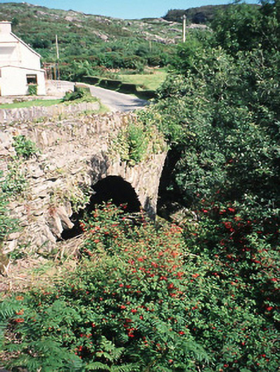 Morley's Bridgebridge · 2.5 mi
 Kilgarvan Motor MuseumMuseum · 2.7 mi
 Battle of Callannbattle · 2.9 mi
 Great Southern & Western RailwayMemorial · 3.2 mi
 European ashEuropean ash · 3.9 mi
 Gougane BarraValley and heritage place · 4.1 mi
 Castle (Site of)Castle, unclassified · 4.4 mi