What is recorded here
On a gradual W-facing slope. In the E quadrant of an enclosure (WI005-115001-). The hut site (c. 5.7m E-W; 5.4m N-S) is defined by a collapsed stone wall with a possible entrance at W. There is a tree in its NW quadrant.
Compiled by: Matt Kelleher
Date of upload: 11 December 2012
The monument record does not grant public access. Check the route and ask the landowner before entering private land.
- What survives
- Recorded monument
Places near here
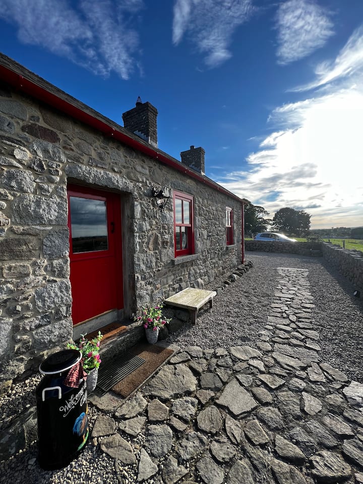 Enclosure in BallywardEnclosure · 18 yd
 IndicatedEnclosure · 906 yd
 OldcourtMemorial · 1432 yd
 Site of CastleCastle, unclassified · 1679 yd
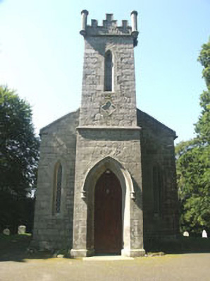 Saint John's Church (Kilbride)church/chapel · 1730 yd
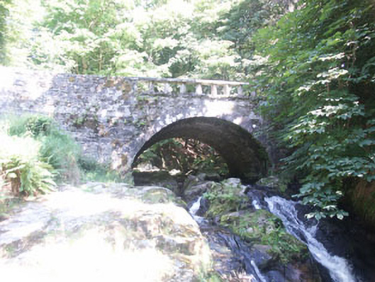 Cloghleagh Bridgebridge · 1.1 mi
 CastleCastle, tower house · 1.4 mi
 Rock WoodForest · 1.6 mi
 Sorrel HillMountain / peak · 2.4 mi
 SeefinMountain / peak · 2.5 mi
 Lacken – Mass Path LoopWalking route · 2.8 mi
 Dame Ninette de ValoisMemorial · 3.3 mi