What is recorded here
On a gradual W-facing slope. Heavily overgrown with forestry and bracken. An oval area (diam c. 40m) enclosed by a stony bank (Wth 2m; H 0.8m) well preserved along the N side but much reduced elsewhere, especially along the W where it has been reduced to a scarp. Entrance at W (Wth 1.8m) defined on its S side by a large granite boulder set on edge (L 1.1m; H 0.6m). Hut site (WI005-115002-) in the E quadrant. At the NE an annex abuts the main enclosure.
Compiled by: Matt Kelleher
Date of upload: 11 December 2012
The monument record does not grant public access. Check the route and ask the landowner before entering private land.
- What survives
- Recorded monument
Places near here
 IndicatedEnclosure · 918 yd
 OldcourtMemorial · 1443 yd
 Site of CastleCastle, unclassified · 1689 yd
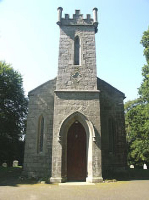 Saint John's Church (Kilbride)church/chapel · 1719 yd
 Enclosure in Ballynasculloge UpperEnclosure · 1.0 mi
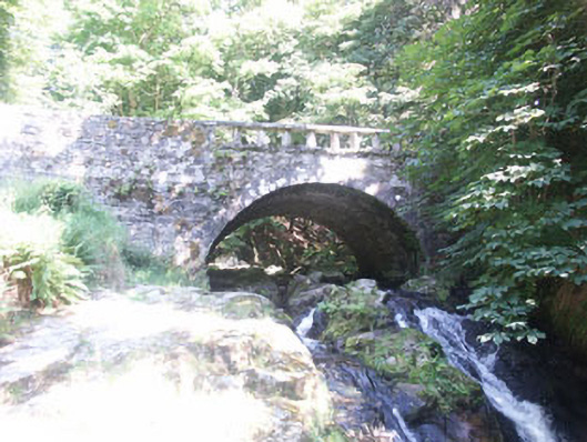 Cloghleagh Bridgebridge · 1.1 mi
 CastleCastle, tower house · 1.4 mi
 Rock WoodForest · 1.6 mi
 Sorrel HillMountain / peak · 2.4 mi
 SeefinMountain / peak · 2.5 mi
 Lacken – Mass Path LoopWalking route · 2.9 mi
 Dame Ninette de ValoisMemorial · 3.3 mi
Other information
Photo: Credit not shown in the picture search · Rights wording not checked; contact us if this picture should be removed