What is recorded here
Ballynaboley is a village in County Carlow. The hut site is a faint circular shadow within a larger enclosure, visible only from above on old aerial photographs. It may have been a small dwelling, a shelter or a marker, but no wall or hearth remains for a person to touch. The earth keeps the shape while human memory has gone quiet.
Faint traces of an incomplete circular structure can be seen within enclosure (CW012-075----) on aerial photograph (GB95.FR.28).
A copy of aerial photograph GB95.FR.27 is printed as Fig.2.6 in the following:
Barrett, G.F. (2008) 'The archaeology of County Carlow: an aerial perspective, in T. McGrath and T. O'Keefe (eds), County Carlow: History and Society, Geography Publications, Dublin. 31-51
Compiled by: Dr Gillian Barrett for the Archaeological Survey of Ireland.
Date of upload: 21 April 2011
The monument record does not grant public access. Check the route and ask the landowner before entering private land.
- What survives
- Recorded monument
Places near here
 Enclosure in BallynaboleyEnclosure · 592 yd
 Enclosure in Orchard (idrone East By.)Enclosure · 1024 yd
 Common LimeCommon Lime · 1095 yd
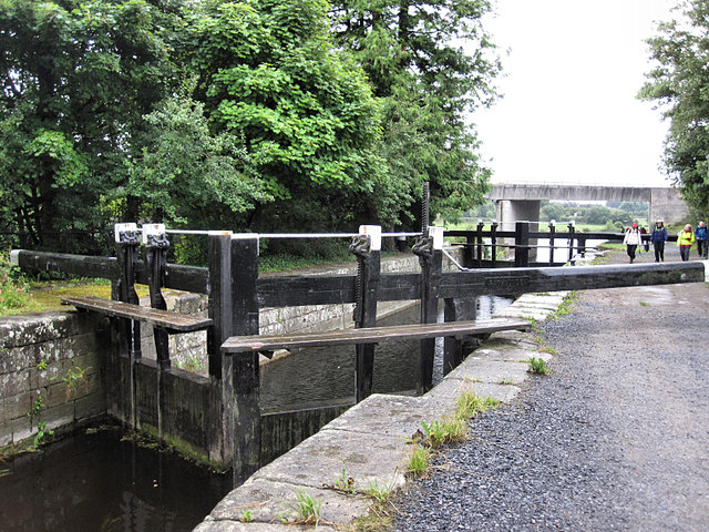 Rathvinden Locklock · 1546 yd
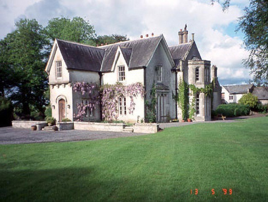 Rathwade Househouse · 1668 yd
 Black Castle (in ruins)Castle, tower house · 1.1 mi
 Church, GraveyardChurch · 1.3 mi
 Dunleckny Ho.Castle, unclassified · 1.9 mi
 Sweet ChestnutSweet Chestnut · 1.9 mi
 Graveyard in Tomard Lower (3 Detached Portions)Graveyard · 2.3 mi
 The Columban WayVisitor information · 2.5 mi
 Lock Keeper's House and Lodge MillsVisitor information · 2.6 mi