
What is recorded here
Ballynaboley in County Carlow contains a large circular enclosure with two concentric ditches, possibly a ringfort or barrow. Aerial photographs reveal cropmarks spanning fifty metres, suggesting humans shaped the land long before modern roads or fields appeared. The earth may still hold the shape of forgotten hands, marking a place where people gathered, defended or remembered before written history arrived.
The following description is derived from the published 'Archaeological Inventory of County Carlow' (Dublin: Stationery Office, 1993). In certain instances the entries have been revised and updated in the light of recent research.
Date of upload/revision: 18 July 2007
Aerial photographs (CUCAP AVL 87-8 and ASIAP (11) 29-31) show cropmarks of two very regular concentric fosses enclosing circular area (est max. diam. c. 50m). Either a large ring-barrow/ring-ditch or ringfort.
The monument record does not grant public access. Check the route and ask the landowner before entering private land.
- What survives
- Recorded monument
Places near here
 Clonegall StoneEnclosure · 637 yd
 Enclosure in Orchard (idrone East By.)Enclosure · 713 yd
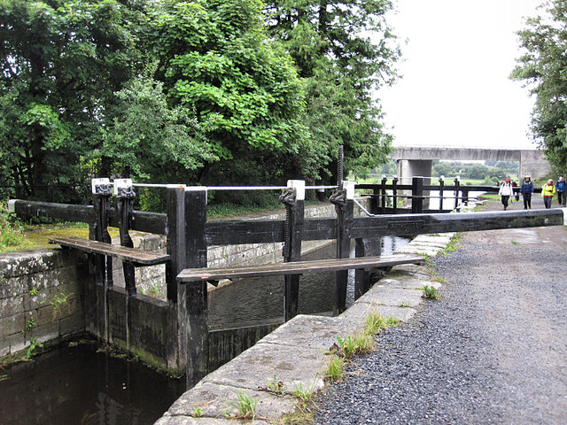 Rathvinden Locklock · 1123 yd
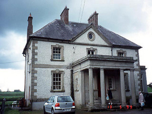 Glen Lodgehouse · 1180 yd
 Black Castle (in ruins)Castle, tower house · 1296 yd
 Church, GraveyardChurch · 1624 yd
 Common LimeCommon Lime · 1682 yd
 Dunleckny Ho.Castle, unclassified · 2.0 mi
 Sweet ChestnutSweet Chestnut · 2.0 mi
 Graveyard in Tomard Lower (3 Detached Portions)Graveyard · 2.2 mi
 Lock Keeper's House and Lodge MillsVisitor information · 2.4 mi
 The Columban WayVisitor information · 2.5 mi
Other information
Photo: Credit not shown in the picture search · Rights wording not checked; contact us if this picture should be removed