What is recorded here
Situated in upland area overlooking Glencree River 40m to E. Roughly D-shaped enclosure (WI006-034----) defined by a low grass-covered earth and stone bank with two circular-shaped hut sites (WI006-034001-/002-) in SW quadrant which are clearly visible on Google earth aerial imagery taken 31/05/2009. Enclosure depicted as an irregular-shaped field on all editions of the OS 6-inch maps. Drystone field walls radiate out from SSW and S.
See attached Google Earth image taken 31/05/2009
Compiled by:Caimin O'Brien
Date of upload: 19 May 2020
The monument record does not grant public access. Check the route and ask the landowner before entering private land.
- What survives
- Recorded monument
Places near here
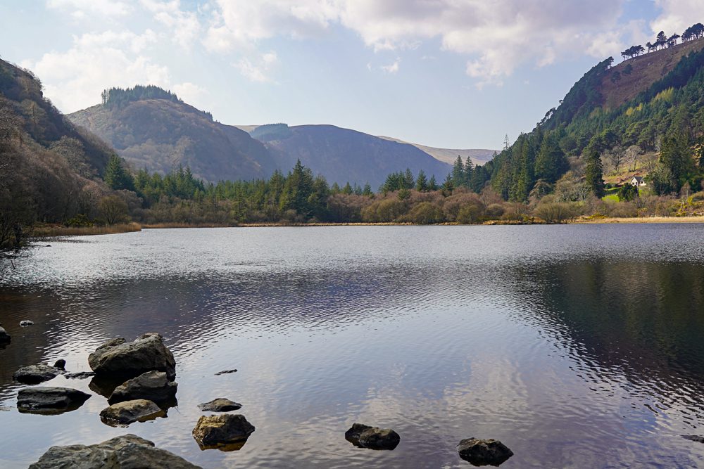 OutlinedEnclosure · 23 yd
 Glencree Centre for Peace and ReconciliationHeritage attraction · 775 yd
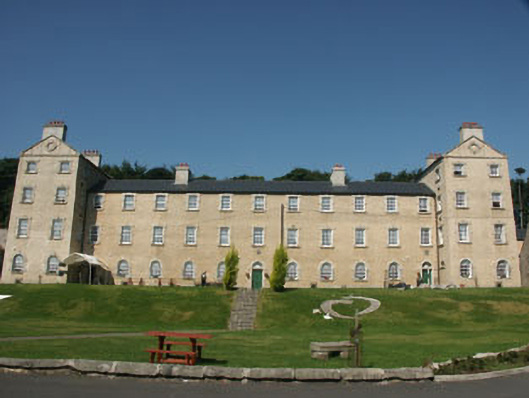 Glencree Barrackbarracks · 796 yd
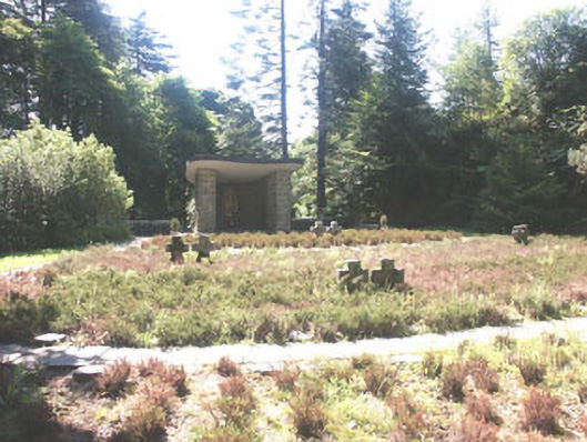 Deutscher Kriegs Friedhofgraveyard/cemetery · 801 yd
 Glencree German War CemeteryHeritage attraction · 990 yd
 IndicatedEcclesiastical enclosure · 1.1 mi
 KnocknagunMountain / peak · 1.4 mi
 Ballyross WoodWood · 1.6 mi
 Cloon WoodForest · 1.8 mi
 Noel Lemass MemorialMemorial · 2.0 mi
 Glendoo MountainMountain / peak · 2.0 mi
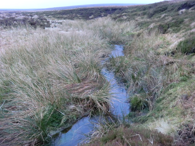 Source of River LiffeySpring · 2.5 mi