What is recorded here
On a small spur running NE from rath (RO017-028001-). Circular grass-covered area (int. dims 4.6m E-W; 3.8m N-S) defined by a stone spread (Wth 2-3m; H 0.3m) on the perimeter of cashel (RO017-028002-) at SE which may be a quarry.
From the National Monuments Service (Archaeological Survey of Ireland) record RO017-028003
The monument record does not grant public access. Check the route and ask the landowner before entering private land.
- What survives
- Recorded monument
Places near here
Photo credits
- National Inventory of Architectural Heritage
- PatWhelehan, Wikimedia Commons · CC BY-SA 4.0
IndicatedFairy fort / earthen ringfort · 538 ydChurch WoodWood · 539 ydMaguire's WoodForest · 661 ydEmbanked enclosureFairy fort / earthen ringfort · 814 yd Cloonahee HouseCountry house · 2.0 miSite of Dangan CastleCastle, unclassified · 3.1 miTully LodgeHouse · 3.6 miCastle (Site of)Castle, unclassified · 3.7 miGarrymond IslandIslet · 3.9 miHat IslandIslet · 4.0 miMoon RiverHeritage attraction · 4.4 miWar of Independence Commemorative Military MemorialMemorial · 5.4 mi
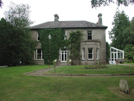 Cloonahee HouseCountry house · 2.0 miSite of Dangan CastleCastle, unclassified · 3.1 mi
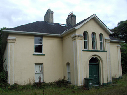 Tully LodgeHouse · 3.6 miCastle (Site of)Castle, unclassified · 3.7 miGarrymond IslandIslet · 3.9 miHat IslandIslet · 4.0 miMoon RiverHeritage attraction · 4.4 mi
 War of Independence Commemorative Military MemorialMemorial · 5.4 mi
More archaeology and monuments in County Roscommon · All of County Roscommon
What do you know about this place?