What is recorded here
Possible hut site (int. diam. 2m) in ringfort (LH008-035001-), to the WNW of centre. Consists of a drystone masonry wall (Wth 1.15m, H 0.2-0.4m) with entrance gap at W, where the walls bend outwards.
Compiled by: Claire Breen
Date of upload: 13 December 2011
The monument record does not grant public access. Check the route and ask the landowner before entering private land.
- What survives
- Recorded monument
Places near here
 Man-made underground passageFairy fort / earthen ringfort · 9 yd
 Mass-rock in AnnaloughanMass-rock · 409 yd
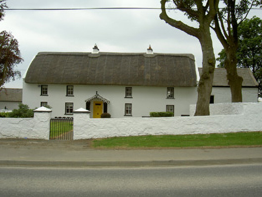 Rampark Farmhousehouse · 1079 yd
 SlievenagloghMountain / peak · 1347 yd
 Annaloughan MountainMountain / peak · 1504 yd
 Saint Mary's Catholic Churchchurch/chapel · 1613 yd
 IndicatedBawn · 1.4 mi
 Mount Bagnell FoerCastle, motte and bailey · 2.0 mi
 Soldiers' PointHeadland · 2.9 mi
 The BushPicnic place · 3.4 mi
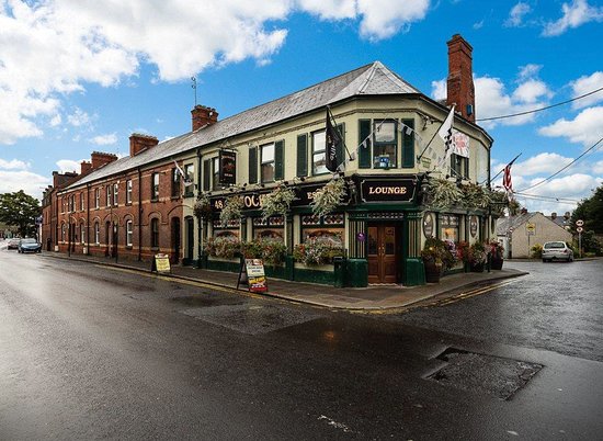 TSS DundalkMemorial · 3.5 mi
 Proleek DolmenArchaeological place · 3.6 mi